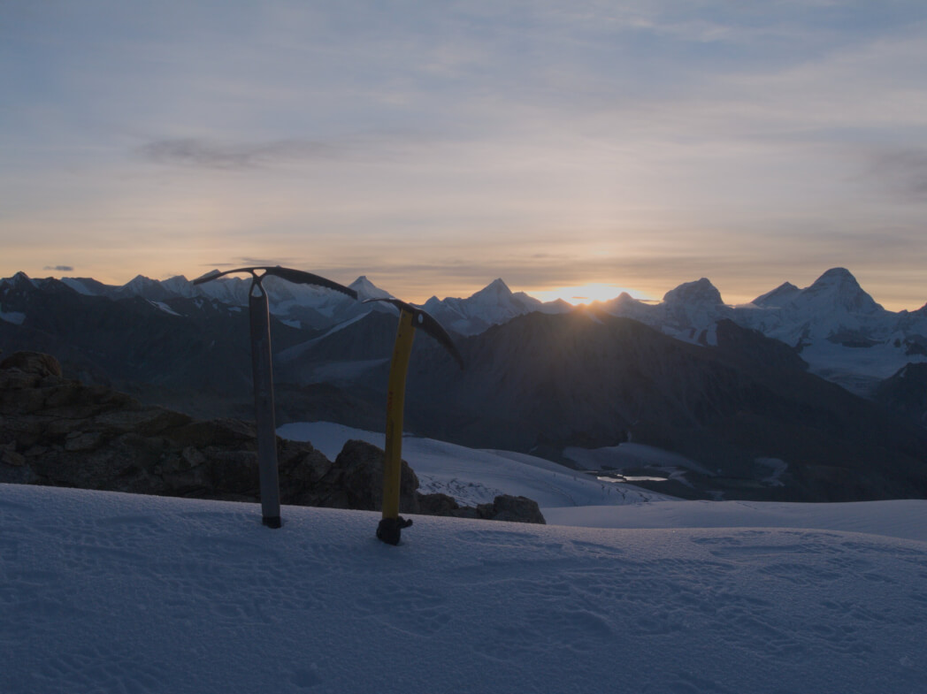
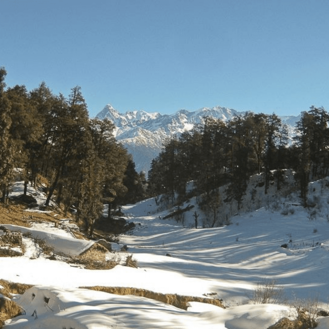
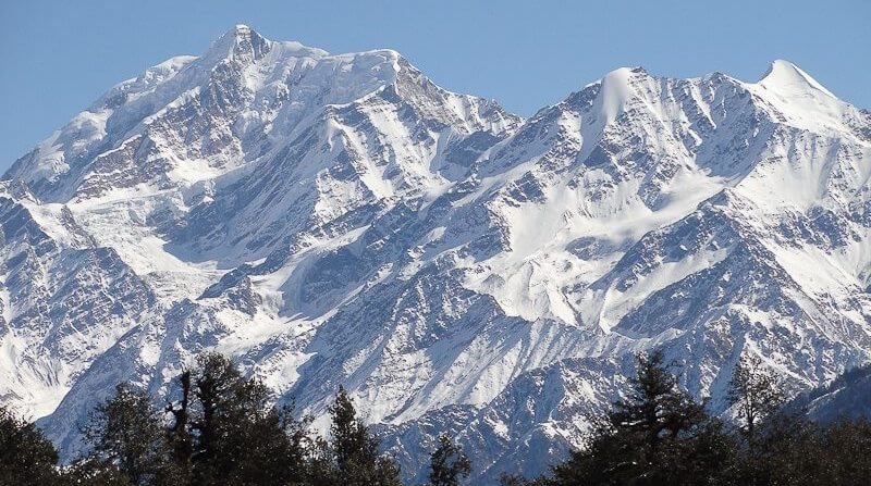
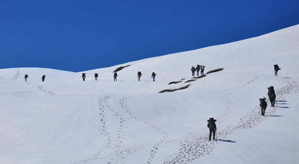
The difficult Kalindi Khal trek huddled withinside the grand Himalayas, sense the boost of adrenaline to your blood as you scale right up to a Himalayan pass 19521ft tall. Not only that, this mesmeric region is a religious haven adorned through majestic mountains and the grandeur of nature.
Kalindi Khal’s trek expedition begins from Gangotri banked beside the Ganga waters. After getting the Gangotri goddess’s blessing begin on your adventure to Gaumukh, the beginning point of the holy Ganges River. Get enchanted through the grasslands at Tapovan and mesmerized through numerous rivulets and peaks of Shivling, Bhagirathi, and Meru.

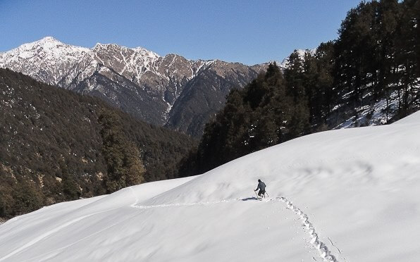
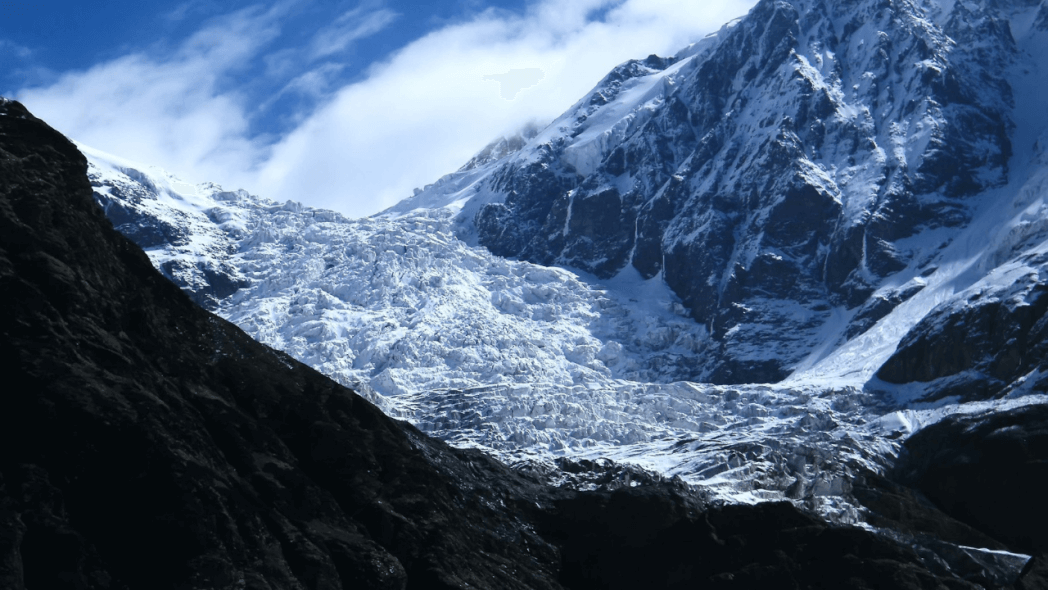
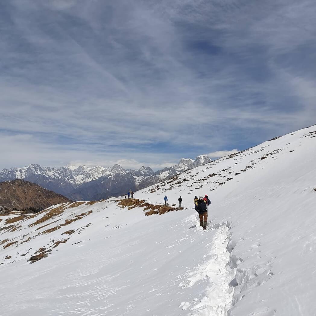
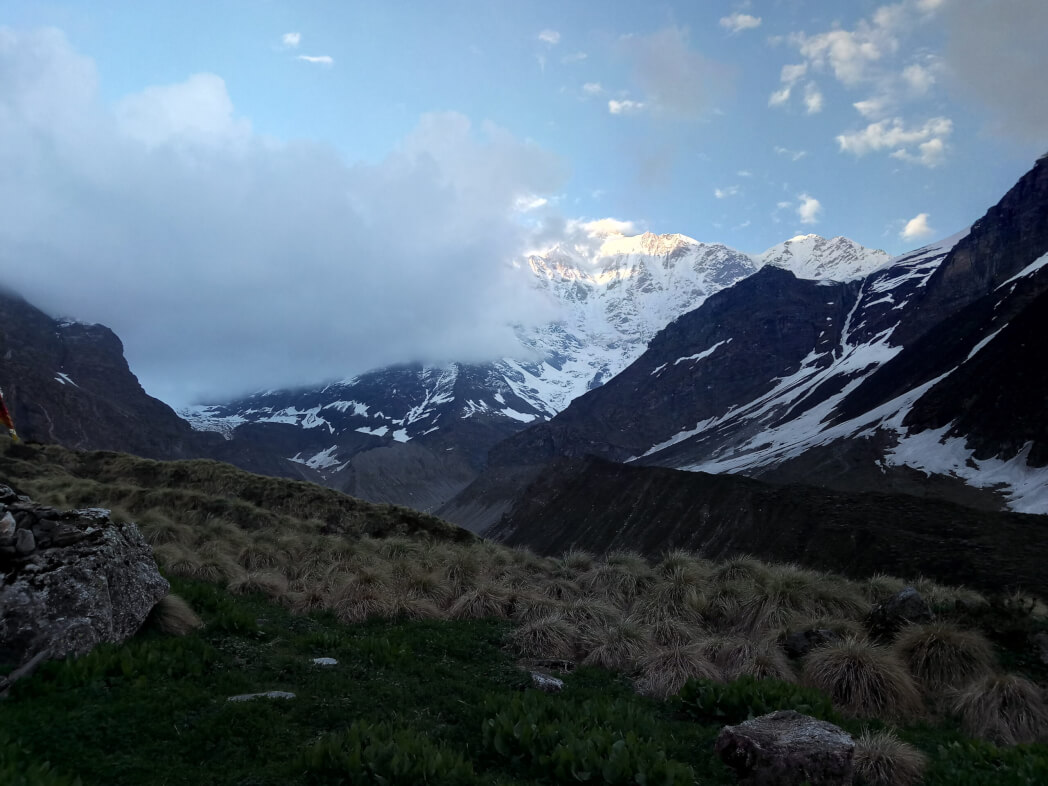
From tenting beside the Vasuki Tal to breathtaking sceneries that consist of moraine, glaciers, and majestic peaks, this Kalindi Khal pass trek tour has it all. Prepare to come across the numerous splendors of nature. Kalindi Khal is one of the most offbeat and challenging hiking locations in India
History of Kalindi Khal Trek
John Bicknell Auden who worked for decades in India with the Geological Survey of India referred to this col in a document of his survey of the Garwhal himal in 1936.
“An easy col of 19,500 ft on the last stop of the south-east department of the Mana glacier, four miles to the east of that is the Saraswati valley” however by no means climbed it as he had to go back the identical manner to Gangotri. Swami Probodhanandawas, inspired by John Bicknell Auden’s account, prepared the first Indian expedition to cross this pass.
The expedition turned into undertaken in 1945 under the leadership of Swami Probodhananda and the guidance of Dileep Singh who ascended the pass on July 22
| AREA | Uttarkashi district, Garhwal Division |
| DURATION | 15 DAYS |
| BEST SEASON | June, July, and September, October |
| GRADE | DIFFICULT |
| ALTITUDE | 19,521 ft. |
| APPROX TREKKING KM | 90Km |

Highlights of Kalindi Khal Trek
- Seek the Gangotri goddess’s blessing and start your adventure to Gaumukh, the birth point of the holy Ganges River.
- The mountain range over right here presents us with close-up eye contact with a number of the Himalayan giants like Mt. Shivling, Mt. Bhagirathi (I, II, and III), Kedar dome, Mt. Satopanth, Mt. Vasuki, and Chandra peak.
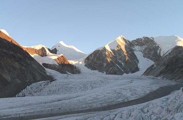
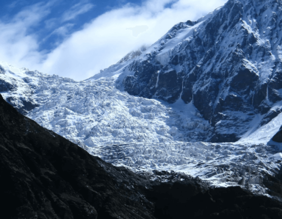
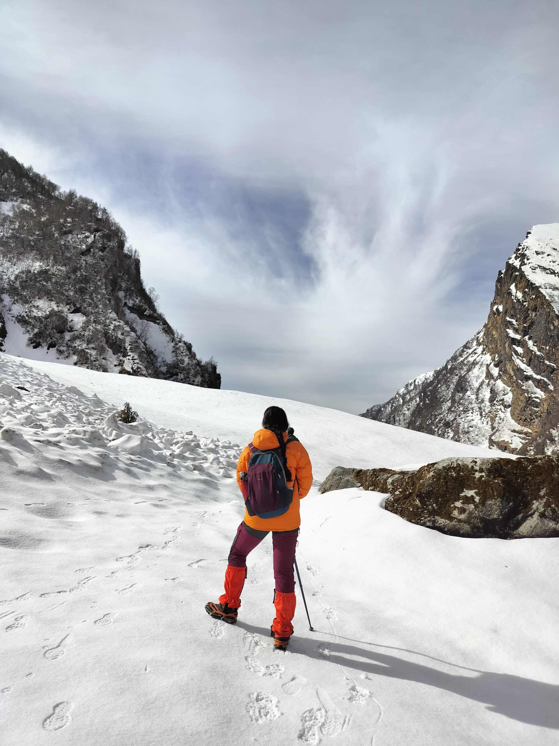
- The treacherous Kalindi Khal trek may also permit you to witness a number of the huge glaciers like Gangotri glacier, Chaturanga glacier, Shta glacier, and Kalindi glacier.
- Teaming with moraines, crevasses, and boulders, tackling this glacier is no easy task feat because the Gaumukh Glacier changes each year.
- No visible path exists to cross the Gaumukh glacier.
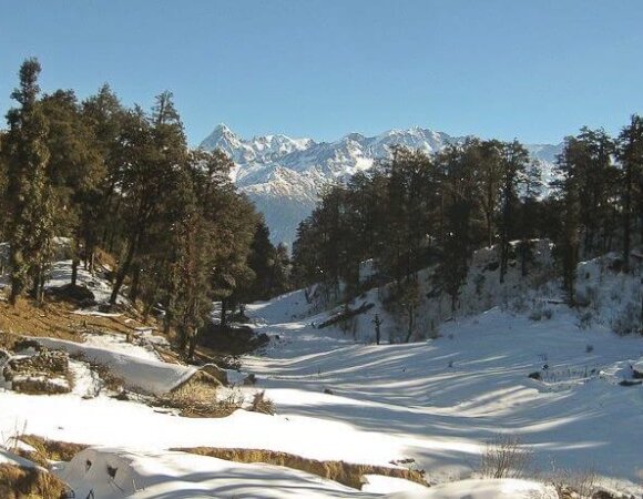
Best Time to go for Kalindi Khal Trek
The best time to visit KalindiKhal Pass is between the summer and monsoon seasons from June to early September. Since KalindiKhal Pass trek is a high altitude difficult trek, it is really useful to mountaineers who’ve at least two-three high-altitude hiking experiences.
Summer: The weather stays extraordinarily satisfactory for summers with clean blue skies, awesome views of the Himalayan peaks, and soothing cool breeze.
Monsoon: The whole forests, meadows, and valleys come to life throughout monsoons. The wildflowers, the luxurious green grasses and leaves, and the whole path appear surreal and magical. The weather stays exceptional for the duration of this time.
How to Reach Kalindi Khal Trek
You first want to arrive in the city of Dehradun, which is linked with the unique main and minor towns of the country through roadways, railways, and airways.
By Air –
All the distant trekkers can take an air flight to Dehradun’s Jolly Grant Airport. As the airport is just 31 km far from the town of Dehradun, you’ll effortlessly discover shared or private cabs to drop you at your final destination.
By Rail –
The railway station of Dehradun is located at a distance of one to two km from its major city. It is ll-linked to main towns throughout the country. So, in case you are coming here either from Delhi or Mumbai or Kolkata or Lucknow or Allahabad, you can board a train to drive you to the Dehradun Railway Station.
By Road –
Dehradun city is effortlessly reachable from all main and minor towns in India through road. Hence, you’ve got to get ordinary state-run and private buses plying from those locations to Dehradun. Apart from this, you furthermore may have the cab facilities to be accessible from the main cities of Uttarakhand and Delhi.
Location of Kalindi Khal Trek
Kalindi pass or Kalindi Khal is a high-altitude mountain pass linking Gangotri and Gastoli. It is situated at 5,950 meters (19,520 ft) elevation and is arguably the most famous trekking pass of the Garhwal Himalaya. It is located in the Garhwal division of Uttarkashi district of Uttarakhand.
Itinerary for Kalindi Khal Trek
Day 1: Dehradun to Gangnani
Early in the morning begin the drive from Dehradun to reach Gangnani. This area is well-known for its natural warm water spring baths. Guests can take a bath in them. stay there overnight live at Gangnani
Day 2: Gangnani to Gangotri
Gangnani to Gangotri- drive to Gangotri through Harsil (approx 25 km before Gangotri). reach Gangotri early and go to the well-known pilgrimage. Stay at Gangotri.
Day 3: Gangotri to Bhojbasa
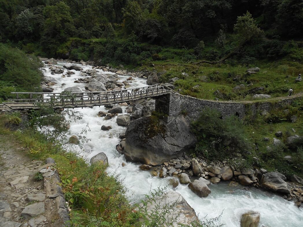
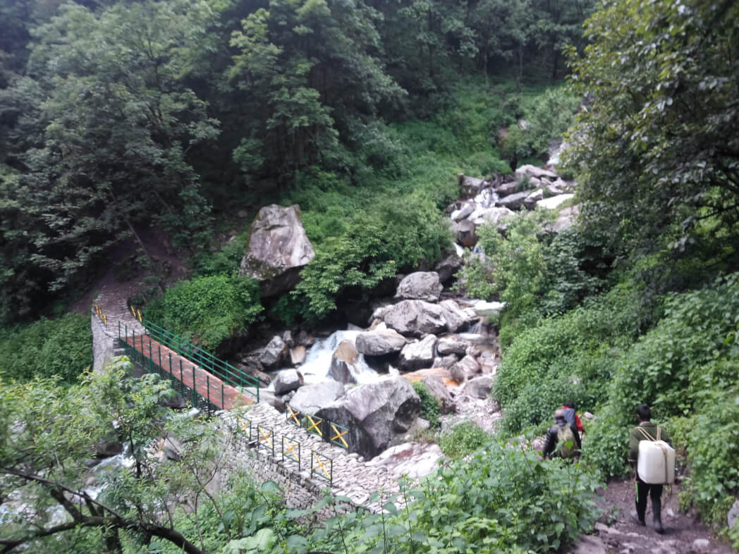
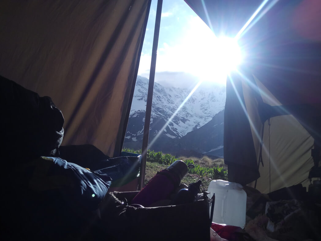
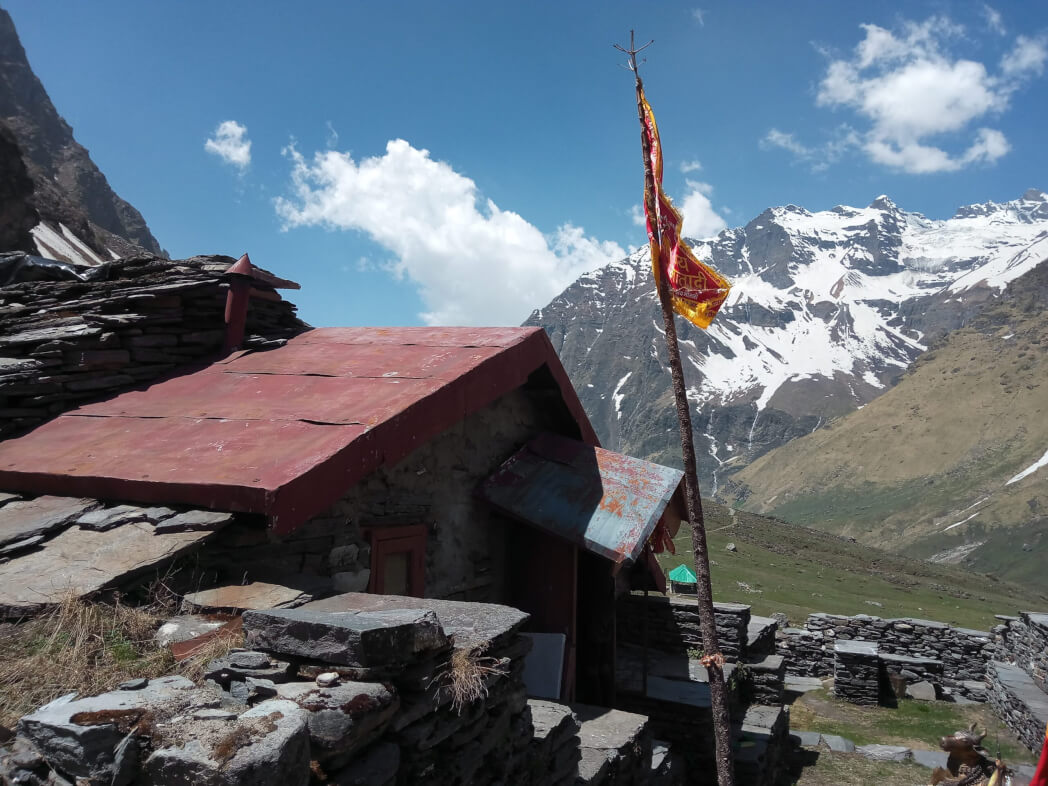
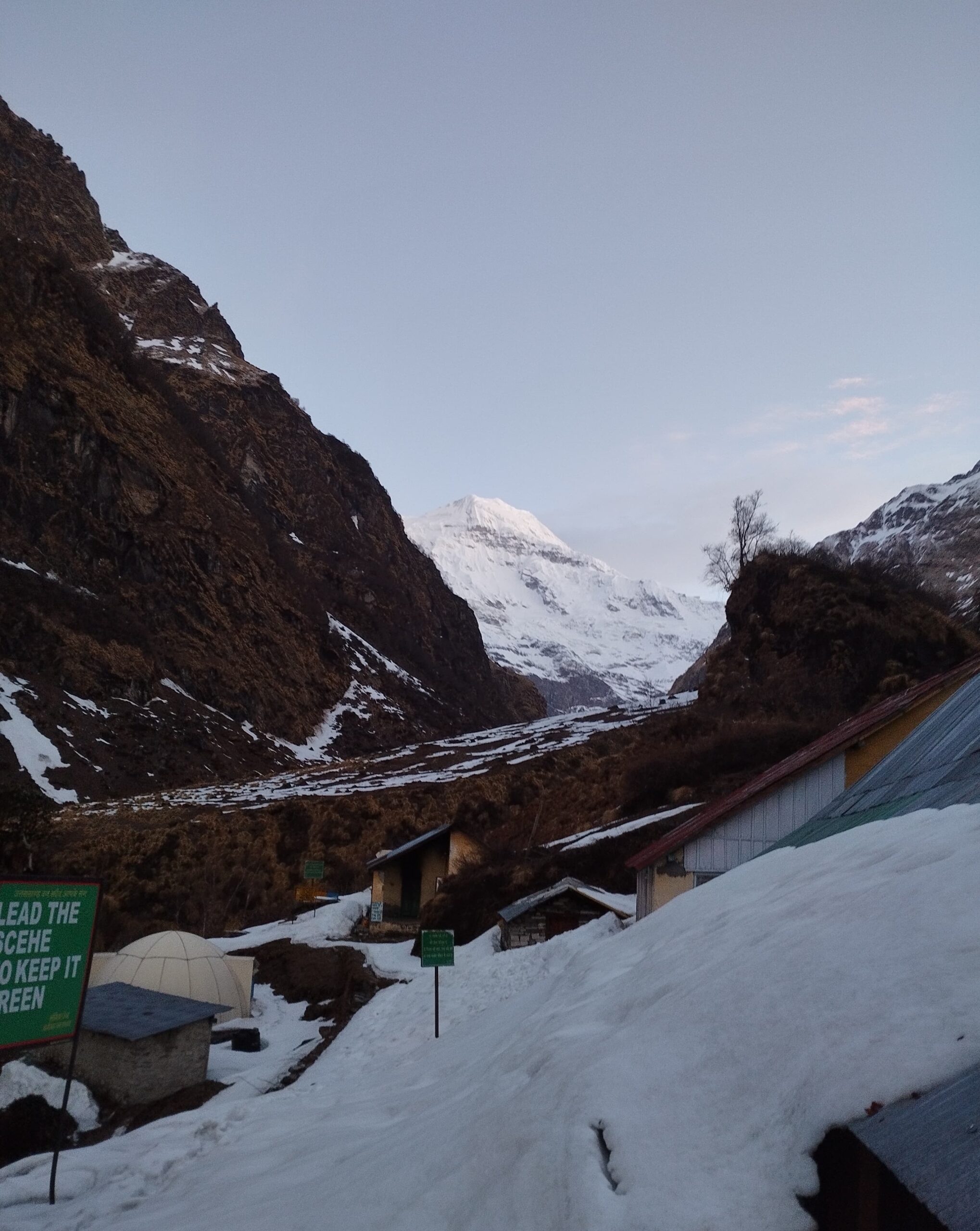
Gangotri to Bhojwasa -On this day, begin the trek from Gangotri to Bhojbasa. From Gangotri pass alongside the crushed path in the direction of Chirbasa, which is on the tree line. The trek these days is alongside the roaring Bhagirathi River. Beyond Chirbasa the terrain will become certainly desolate and barren. It’s been known as Artic Tundra by many trekkers. From Chirbasa trek further to Bhojbasa, the whole path passes thru the dense forest. In Bhojbasa there’s a small temple and a potential campsite close to the river. In the afternoon are free to discover the place and to experience outstanding sunset on the Bhagirathi group of peaks.
Day 4: Bhojbasa to Gaumukh to Tapovan
Bhojbasa to Gaumukh to Tapovan- Early in the morning experience the panoramic view of the Bhagirathi group of peaks. trek to Gaumukhwhich is the source of the Ganges. discover the location and trek to Tapovan, one of the greatest high altitude alpine meadows on the location. The trek from Gaumukh to Tapovan has a steep ascent, and a climb, the view of the surrounding peaks will become clearer. They seem like only a stone’s throw away. It is likewise a bit marvel why Sadhus and saints pick this spot for prolonged meditation for the duration of the summer months.
Day 5: Tapovan
This day is free for us to acclimatize, loosen up and experience the staggering snow-capped peaks, flora, fauna, and mountain landscape. This land is frequented by a number of the best contemporary mountaineers. The Shivling peak stands tall in front of us. Behind Shivling, in the direction of the right is Meru. A little toward the left of Shivling is Sumeru.
The Bhagirathi peaks are seen further to the left. Bhagirathi III, Meru (Central Peak), and Sumeru have a number of the toughest mountaineering routes in the world. can go to the Meru Glacier and go back to your campsite
Day 6: Tapovan to Nandanvan
Tapovan to Nandanvan -begin the trek to reach the lovely base of the Bhagirathi group of peaks, Nandanvan.
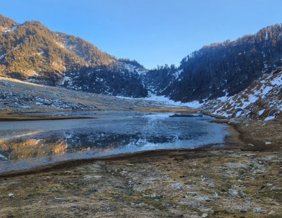
Day 7: Nandanvan to Vasuki Tal
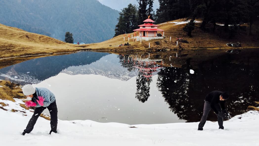
Nandanvan to Vasuki Tal – On this day trek alongside Chaturangi Glacier to reach Vasukital, a small however lovely lake at the bottom of Mt Satopanth and Vasuki Parbat. The trek is gradually upward. arrive in approximately 6 hours.
Day 8: Vasuki Tal to Khara Pathar
Vasuki Tal to Khara Pathar- start the trek to Khara Pathar..Today’s trek is of 6 hrs duration. View of Mount Sathopanth makes the entire experience worthwhile. It is one of the only 7000+ meter peaks in India. stay here in the tent.
Day 9: Khara Pathar to Sta Glacier
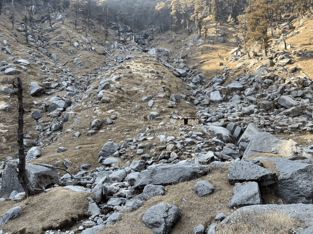
Khara Pathar to Sta Glacier – trek to reach Sta Glacier This day’s trek is of notably brief duration. The campsite is a moraine region full of rocks and boulders, now no longer perfect, however, is a must for acclimatization purposes.
Day 10: Sta Glacier to Kalindikhal base
Sta Glacier to Kalindikhal base -trek to reach the outlet of Suralaya valley. On the outside of the Chaturangi glacier is the outlet of Khalipet valley, and Mana Parvat.
Further, it’s a steep and difficult trek throughout the Suralaya glacier and alongside the northern slopes of Chandra Parvat. The camping area is the left lateral moraine of the Sta glacier close to its junction with the Chaturangi glacier.
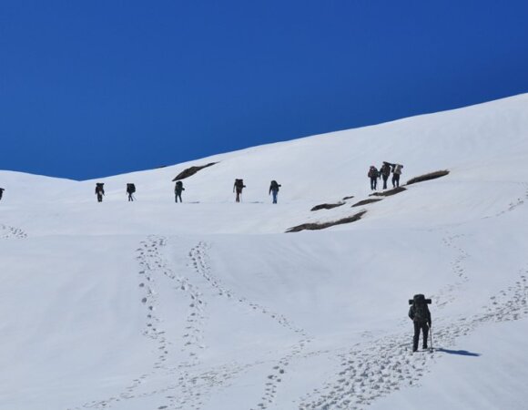
Day 11: Kalindikhal Base to Raj Parav through Kalindi Khal
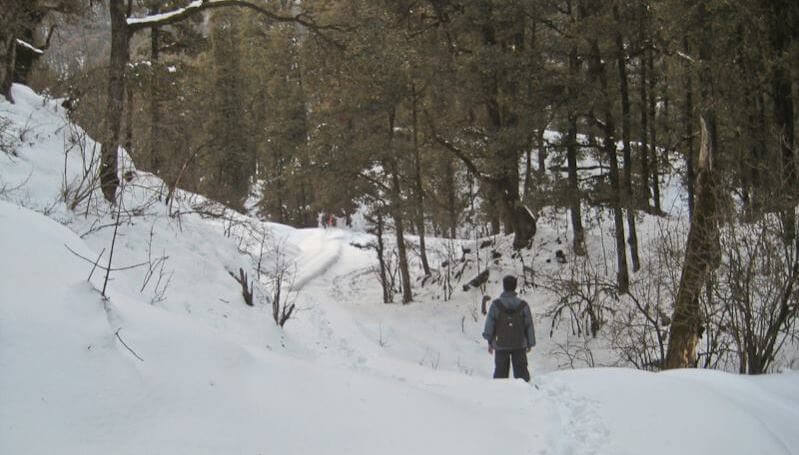
On this day trek (12 km) to Kalindi Pass climb to the pass isn’t simple by any standard and therefore a continuous pace is needed until reach the pass. Once you reach the pass you’ll realize that every one the toil and difficult work become well worth each second.
You will get mind-blowing views of Mt Kamet, Mt. Mana, Chandra Parbat, Vasuki Parbat, and on a clear day a view of the Tibetan Plateau as well. Spend a while on the stunning spot after which trek right down to camp at Rajparav.
Day 12: Raj Parav to Arwatal
Raj Parav to Arwatal – begin in the morning A lengthy walk on glacier terrain ends in Arwa Tal. The downhill to Arwatal goes thru glacial terrains and it’s far advocated that you begin the trek early in the morning earlier than the glacial water level rises. Arwatal is a lovely tenting area beside a lake, set at an elevation of 3,910 meters
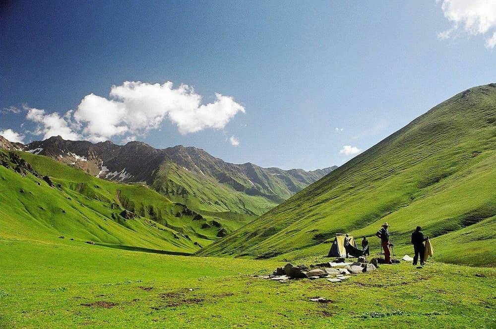
Day 13: Arwatal to Ghastoli
This day′s trek begins early and walks to Ghastoli, which is 16 km from Arwatal. After a long walk thru the moraines will reach Ghastoli today. On the way, you’ll see terrain changing dramatically from gray to green you get close to Ghastoli. Ghastoli is a stunning meadow and a treat for the eyes.
Read more: Deo Tibba Trek
Day 14: Ghastoli to Mana to Badrinath
Begin the trek to Badrinath located on the bank of Alaknanda. A seven hours′ walk brings us to Mana Village, the final village before the border, Later, a small 2 km drive brings us to the town of Badrinath.
Visit the temple of Badrinath in the afternoon. Badrinath is the temple of Lord Vishnu. It is located at an elevation of 3130 m at the shores of river Alaknanda.
Day 15: Badrinath to Dehradun
Badrinath to Dehradun – board a vehicle for Dehradun. The drive to Dehradun is alongside the Alaknanda until Devprayag where it meets the Ganges. Board overnight Bus for Delhi from Dehradun.
Frequently Asked Questions (FAQ) for Kalindi Khal Trek
Where is Kalindi Khal located?
Kalindi pass or Kalindi Khal is a high-altitude mountain pass linking Gangotri and Gastoli. It is situated at 5,950 meters (19,520 ft) elevation and is arguably the most famous trekking pass of the Garhwal Himalaya. it is located in the Garhwal division of Uttarkashi district of Uttarakhand.
Can beginners do Kaliindi Khal trek?
No, Kalindi Khal Trek is not suggested for beginner trekkers as the trekking complexity is very high for this trek. It is hence advisable to undergo various short and long-distance treks of all three difficulty levels – easy, moderate, and hard. Once you thoroughly develop yourself for the needed physical and mental strength, it is only then you can think of joining the Kalindi Khal Trekking Adventure.
What is the best time to head for Kalindi Khal trek?
The days between May to June and September to October are great to plot your journey to the Kalindi Khal Trek. This is the time when you can get to stumble upon the jaw-dropping splendors of nature, which includes glaciers, moraine, and majestic peaks.
How lengthy is the Kalindi Khal Trek?
The Kalindi Trek is a 90 km long path with a 6000 meters high glacial pass connecting the 2 vital holy shrines of Gangotri and Badrinath. The shortest motorable course to the Kalindi Pass Trek measures 425 km in its total length.
What could be the climate situation in Kalindi Khal Trek?
Kalindi Khal Trek is a high-altitude hiking day trip, and therefore, the climate situations keep on fluctuating there. On average the temperatures vary between the ranges of 10 to 18 degrees; -8 to 5 degrees; 8 to 15 degrees; and -10 to 5 degrees.
What are the nearby sights that I can visit?
Gangotri Temple Gangotri, the origin of the River Ganges and seat of the goddess Ganga, is one of the 4 sites withinside the Chota Char Dham pilgrimage circuit. Pandava Gufa, located 1.5 km from Gangotri, is the area wherein the Pandavas are believed to have meditated and rested en route Kailash. Pilgrims will have to trek as much as the Pandava Gufa.
Badrinath: The Badrinath temple is the main attraction withinside the town.
What is the difficulty level of the Kalindi Khal trek?
The Kalindi trek is ninety km lengthy and full of slender ridges and a few steep inclines, glaciers, moraines, and majestic peaks, thereby making it a tough trek. Thus, any individual who’s desirous of undergoing a trek right here has to own both technical and mountain climbing skills.
10 Best Hill Station In Himachal Pradesh, Highlights, FAQ’s
10 Best Hill Stations In Maharashtra, Highlights & FAQ’s
10 Best Hill Stations In West Bengal – Best Time, How to Reach Highlights & FAQs
10 Best Maharashtra Trekking Places, Highlights, Treks & FAQ’s
10 Best Trekking Places Near Delhi In 2024 & FAQ’s

10 Best Treks in Himachal That You Can Do in Winters
[…] Read more: Kalindi Khal […]