Discover the best trekking apps India for 2025! Plan, navigate, and track your hikes with top-rated trekking apps for India, available on iOS and Android.
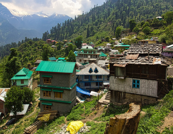
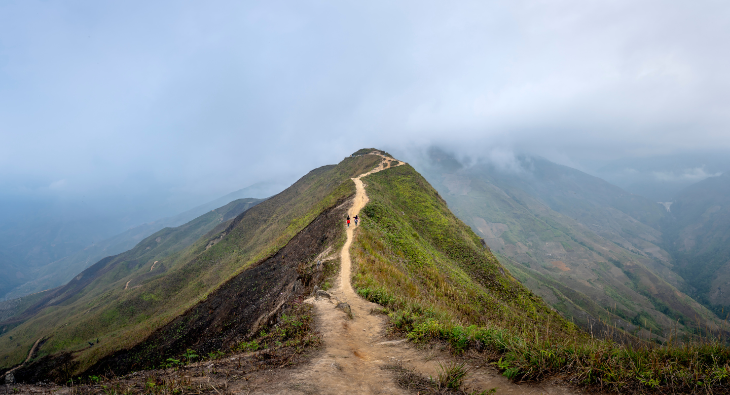
India is a trekking paradise, offering diverse landscapes from the snow-capped Himalayas to the lush Western Ghats. Whether you’re an experienced trekker or a beginner looking for a weekend hike, having the right tools can make a significant difference. Trekking apps have become an essential companion, providing maps, navigation, weather updates, and even community insights to ensure a safe and enjoyable adventure.

Choosing the best trekking apps in India can be overwhelming with so many options. This guide will help you find the perfect trek-planning apps for India based on your needs. From navigation and route planning to offline maps and peak identification, these apps offer something for everyone.
Why Use a Trekking App?
Trekking apps can make your hiking experience much easier and safer. They offer several helpful features that will ensure you have a smooth adventure. Here’s why using a trekking app is a great idea:
1. Trail Discovery
Trekking apps help you discover the best hiking trails, including some lesser-known and beautiful routes that you might not find in regular guidebooks. Whether you’re looking for an easy walk or a challenging climb, these apps provide a variety of trail options across India.
2. Navigation & GPS Tracking
When you’re out trekking, it’s easy to get lost, especially in remote or unfamiliar areas. A trekking app with GPS tracking ensures you always know your location and can easily find your way back. Even if there’s no mobile signal, many apps work without the internet, so you’re never truly lost.
3. Offline Maps
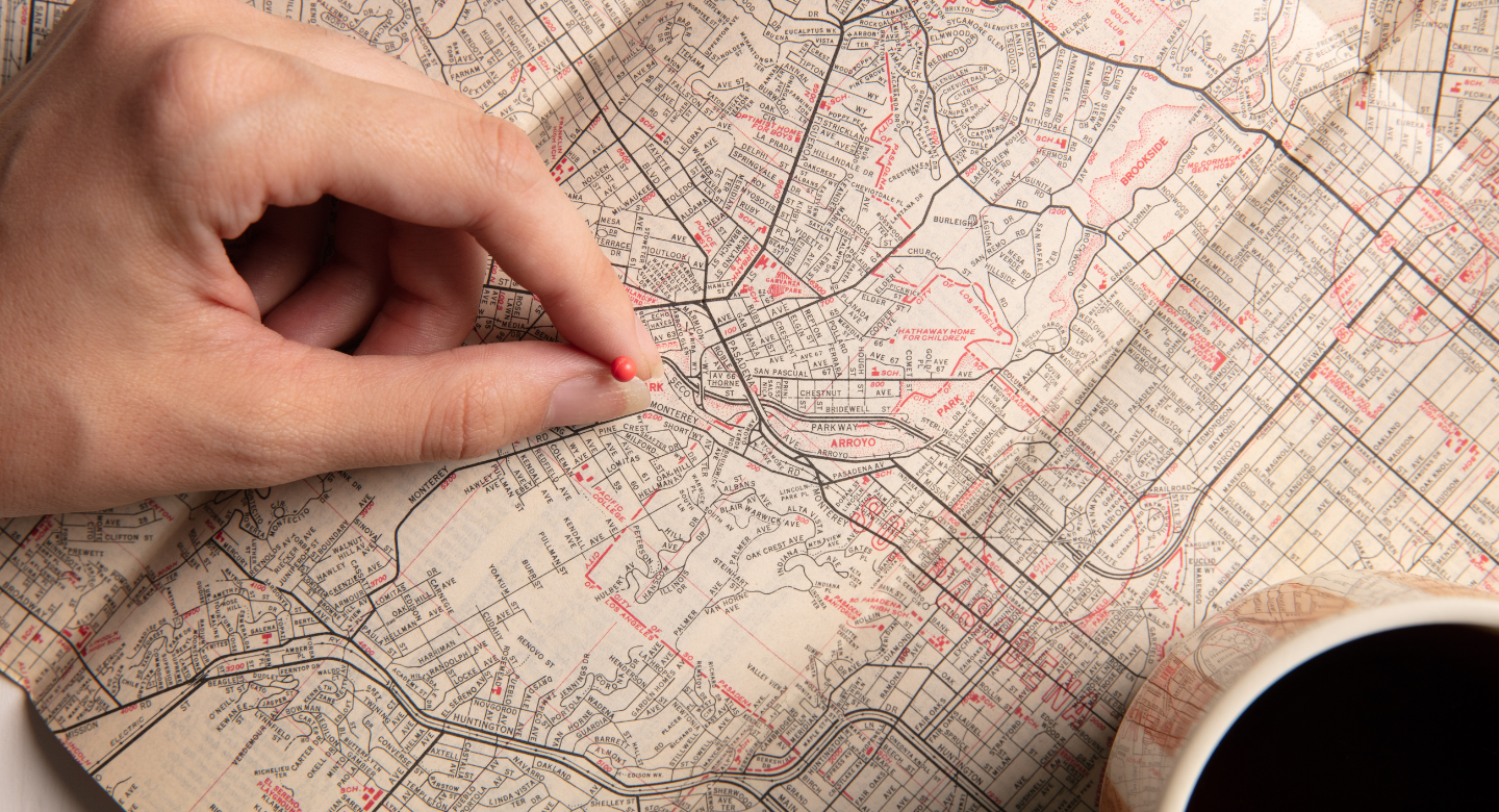
One of the best features of trekking apps is the ability to download maps ahead of time. This means you can access them even when you’re in areas with no network connection. Having offline maps allows you to stay on track without worrying about signal issues.
4. Weather Forecasts

Before heading out, you can check the weather forecast on your trekking app. Knowing the weather in real time can help you avoid sudden storms, snow, or other extreme conditions. It’s better to be prepared than to be caught off guard during your hike.
5. Community Reviews & Insights

Trekking apps often include reviews from fellow trekkers. These reviews can provide valuable information like the difficulty of the trail, tips on what to bring, and things to watch out for. This way, you can make informed decisions before you start your trek.
6. Safety Features

Many trekking apps come with safety features like emergency alerts and live location sharing. If you ever get into trouble or need help, you can send an emergency alert to your friends or family with your exact location, which could be a lifesaver in a tricky situation.
Now, let’s take a look at some of the best trekking apps in India for 2025.
Top Trekking Apps for India in 2025
1. AllTrails
Why It’s Great: AllTrails is one of the most popular trekking apps globally, offering over 200,000 trails, including some of the best trekking routes in India.

Features:
- Detailed Trail Maps: Provides maps that show the route, distance, and elevation of each trail.
- User Reviews and Difficulty Ratings: Get insights from other trekkers about the trail’s difficulty, highlights, and what to expect.
- Elevation Profiles and GPS Tracking: This helps you track your progress and shows how much elevation you will gain during your trek.
- Offline Maps (Pro Version): You can download maps for offline use if you’re heading into areas without a mobile signal.
Best For: Whether you’re a beginner or an experienced trekker, AllTrails is great for anyone looking for well-documented, reliable trail options.
Availability: Available on iOS and Android. Free to use, but the Pro version costs $35.99/year.
2. Gaia GPS
Why It’s Great: Gaia GPS is perfect for trekkers looking to explore more remote and off-the-beaten-path trails, with detailed topographic and satellite maps.
Features:
- Offline Map Access: You can download maps and use them even when there’s no mobile coverage.
- Route Planning and Campsite Locations: Plan your routes and find campsites along the way.
- Advanced Elevation Data: Provides detailed information on terrain and elevation changes.
- Customizable Tracking Tools: You can adjust settings to track your trek in a way that fits your needs.
Best For: Experienced trekkers and backpackers who want to explore remote areas or plan complex routes.
Availability: Available on iOS and Android. Free to use, but the Premium version costs $39.99/year.
3. Komoot
Why It’s Great: Komoot is an advanced navigation app that allows you to plan your routes based on your fitness level, making it perfect for trekkers who want a personalized experience.
Features:
- Turn-by-Turn Navigation: This gives voice guidance during your trek, so you don’t need to look at your phone constantly.
- Elevation Profiles: This helps you understand how steep or challenging a trail will be.
- Offline Maps: Download maps in advance, so you don’t lose your way if there’s no signal.
- Community-Driven Route Suggestions: Get tips and recommended routes from fellow trekkers.
Best For: Trekkers who want to create personalized, detailed routes based on their own fitness level and preferences.
Availability: Available on iOS and Android. Free to use.
4. PeakFinder
Why It’s Great: PeakFinder is a fun and educational app that uses augmented reality to identify mountain peaks, especially useful for trekkers in the Himalayas.
Features:
- 360° Panoramic Mountain Views: Enjoy stunning panoramic views of mountain ranges and learn about the peaks around you.
- Offline Functionality: Use the app without an internet connection to identify mountains and peaks.
- Database of Over 1 Million Peaks: Includes information on mountains from all over the world.
Best For: Trekkers who love to identify mountain ranges and enjoy the beauty of the landscape around them.
Availability: Available on iOS and Android. A one-time purchase of $4.99.
5. HiiKER
Why It’s Great: HiiKER is known for its detailed maps of trekking trails in India, including popular ones like Valley of Flowers and Hampta Pass.
Features:
- GPS-Enabled Maps: Real-time tracking ensures you’re always on the right path.
- Multi-Day Trek Breakdown: The app breaks down long treks into stages, so you know exactly what to expect each day.
- Offline Access: Download key trek data for offline use.
Best For: Trekkers planning long-distance hikes who want detailed, stage-by-stage breakdowns of the trail.
Availability: Available on iOS and Android. Free to use.
Tips for Using Trekking Apps in India
1. Download Offline Maps
Many trekking destinations in India, such as Spiti Valley or Arunachal Pradesh, may not have reliable network coverage. Before heading out, download all the necessary maps so you can access them offline when you’re out of range.
2. Carry a Power Bank
Trekking apps, especially GPS and map tracking features, use a lot of battery. To avoid running out of charge in the middle of your trek, make sure to pack a portable power bank. It’ll help you keep your phone powered up throughout your adventure.
3. Verify Trail Information
Trekking apps provide useful information, but it’s always a good idea to double-check the details. Talk to local guides or read up on recent trek reviews to ensure the information is accurate and up-to-date. Conditions on the ground can sometimes change.
4. Keep Emergency Contacts Handy
Before you head out, save important emergency numbers on your phone and share your trek itinerary with a friend or family member. It’s always safer to have someone know where you’ll be, in case anything goes wrong.
5. Stay Updated with Weather Reports
Weather in the mountains can change quickly, and it can greatly impact your trek. Check the weather forecasts regularly to stay prepared for any sudden shifts in conditions. This way, you can plan accordingly and avoid trekking in dangerous weather.
Conclusion on Best Trekking Apps India in 2025: Your Ultimate Guide
Trekking in India is an exhilarating experience, and the right trekking apps can enhance safety, navigation, and overall adventure quality. From discovering hidden trails with AllTrails to exploring offbeat terrains with Gaia GPS, each app provides unique features tailored to different trekking needs.
By leveraging these digital tools, trekkers can make informed decisions, stay on track, and enjoy seamless navigation even in remote regions. Whether you’re a beginner or a seasoned adventurer, integrating trekking apps into your journey ensures a more immersive and secure trekking experience. By preparing well, downloading essential resources, and staying connected with fellow trekkers, you can explore India’s breathtaking landscapes with confidence and ease. Happy trekking!
Explore More Such Blogs
Trekking Shoes vs. Sport Shoes: Which One is Best for You?
How to Choose the Right Backpack for Your Trek
Frequently Asked Questions (FAQs) on Best Trekking Apps India in 2025: Your Ultimate Guide
What are the best trekking apps for India in 2025?
Some of the top trekking apps include AllTrails, Gaia GPS, IndiaHikes, Komoot, and Maps.me, PeakFinder, HiiKER, and Trekking Trails.
Which trekking app is best for offline navigation?
Gaia GPS, Maps.me and HiiKER offer excellent offline maps for trekking in remote areas.
Are these trekking apps free to use?
Most apps offer free basic versions, but premium features like offline maps, advanced GPS tracking, and detailed elevation data often require a paid subscription.
Which trekking app is best for the Himalayas?
IndiaHikes and Trekking Trails are great for Himalayan treks, offering curated itineraries and expert recommendations.
Can I use these trekking apps without an internet connection?
es, many apps like Gaia GPS, Maps.me, and Komoot allow users to download maps for offline use.
Which app provides real-time weather updates for trekking?
AllTrails and Gaia GPS offer weather forecasting features to help trekkers prepare for changing conditions.
Is there an app that helps identify mountain peaks?
Yes, PeakFinder uses augmented reality to identify mountain peaks and provide detailed information about them.
Which trekking app is best for beginners?
AllTrails is beginner-friendly, offering user reviews, difficulty ratings, and clear navigation tools.
How can trekking apps improve safety during hikes?
Many apps provide live GPS tracking, emergency contact features, and terrain analysis to help trekkers stay safe.
What should I do if my trekking app drains my phone battery quickly?
Carry a power bank, enable battery-saving mode, and download maps in advance to reduce battery usage during your trek.