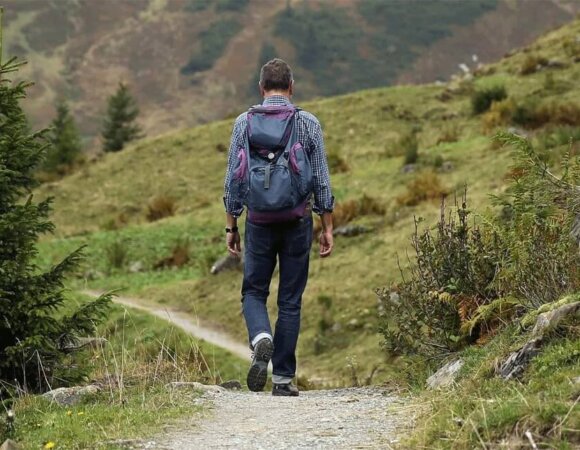
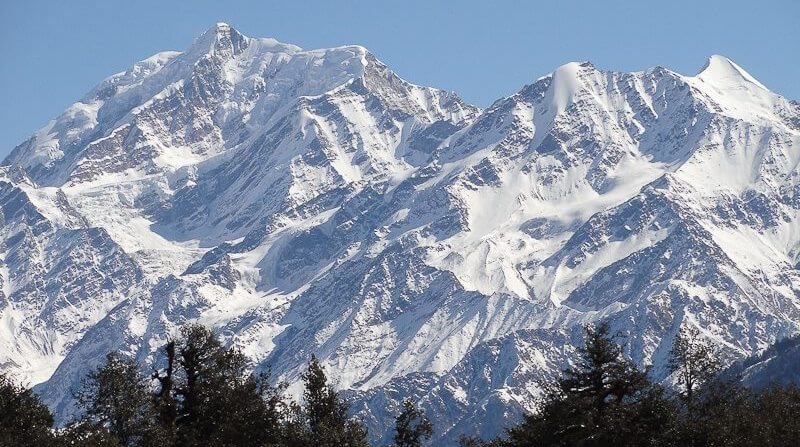
The Lamkhaga Pass Trek is one of the most difficult passes in Himachal Pradesh, connecting Kinnaur with Harshil in Uttarakhand. Lamkhaga is an abbreviation for a long road pass. Lam means “long” and Khaga means “pass.” It’s a 5300m mountain pass with a gently curving crest and fairly close slopes on both sides.
The Lamkhaga pass trek is a 90-kilometer journey across the most isolated valleys of Kinnaur (lower and upper Baspa) and Garhwal. The 5300-meter-high pass connects Chitkul with Gangotri, and is a typical Himalayan crossing. The Lamkhaga Pass hike begins at Chitkul, the final village in Himachal’s sangla valley, but it may also be done from the Harshil side.

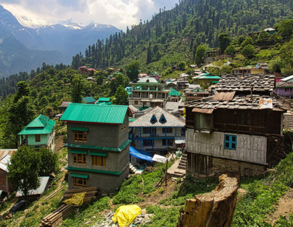
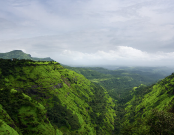
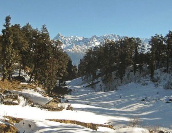
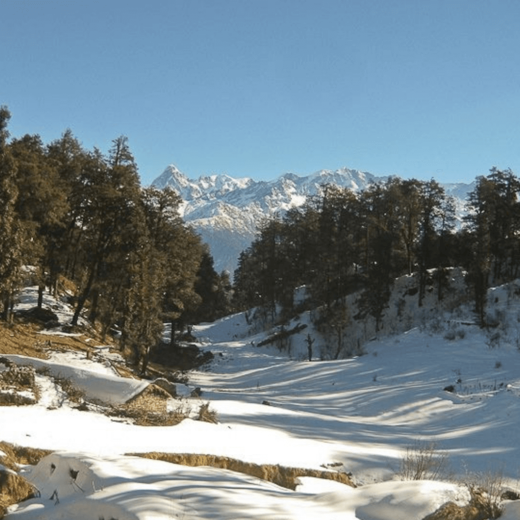
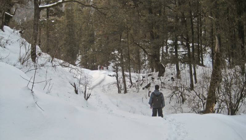
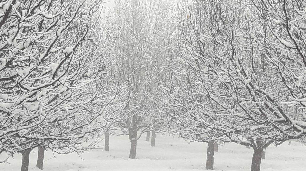
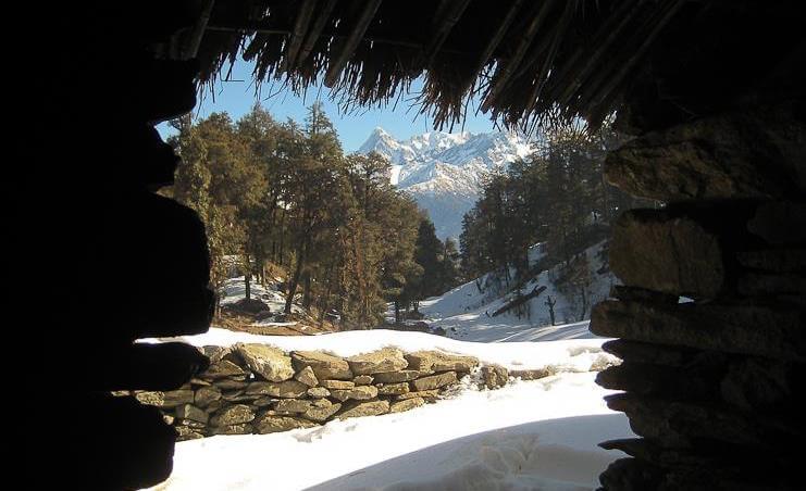
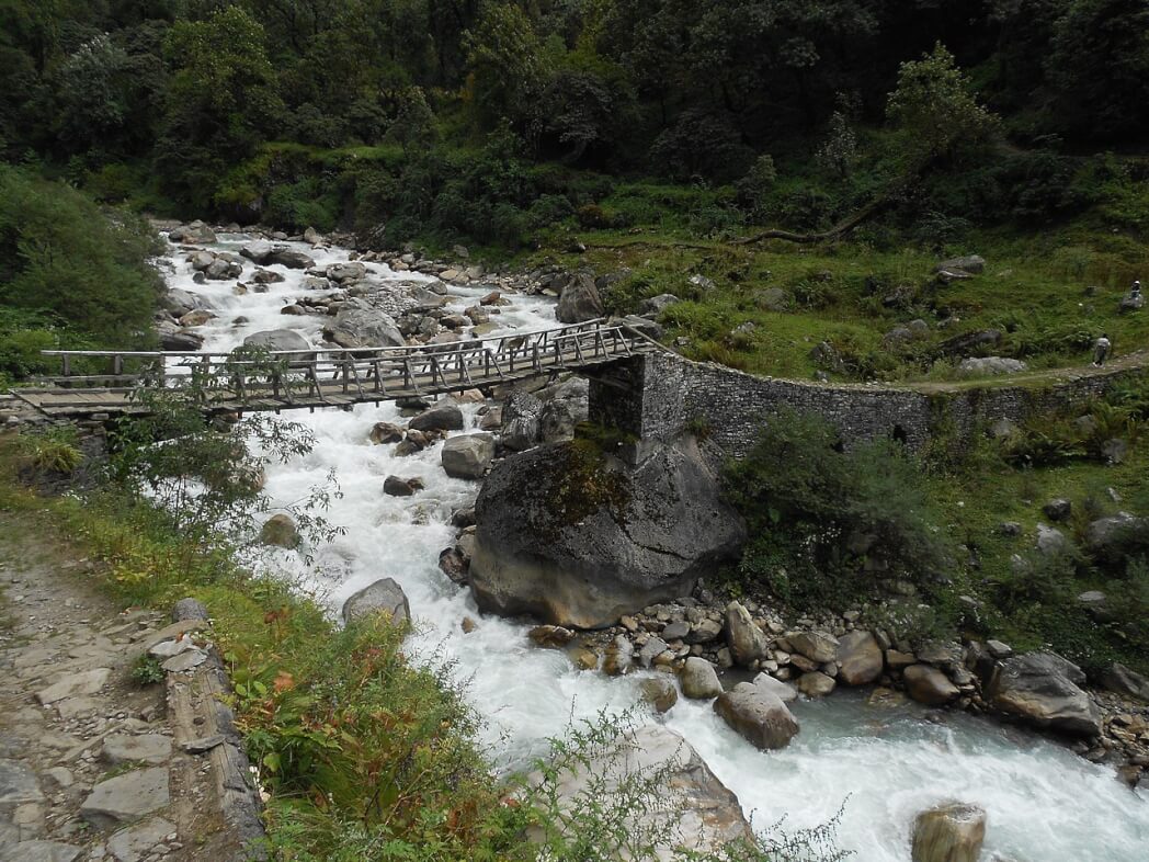
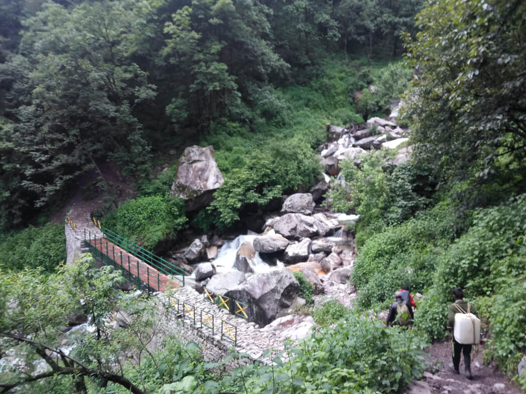
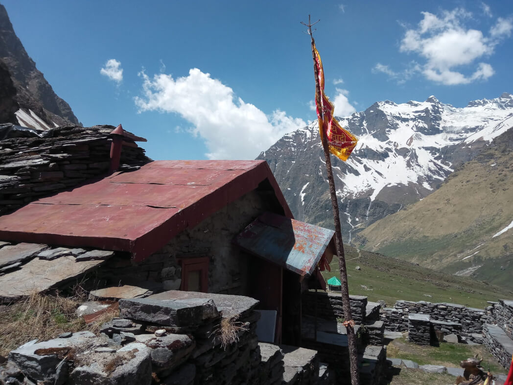
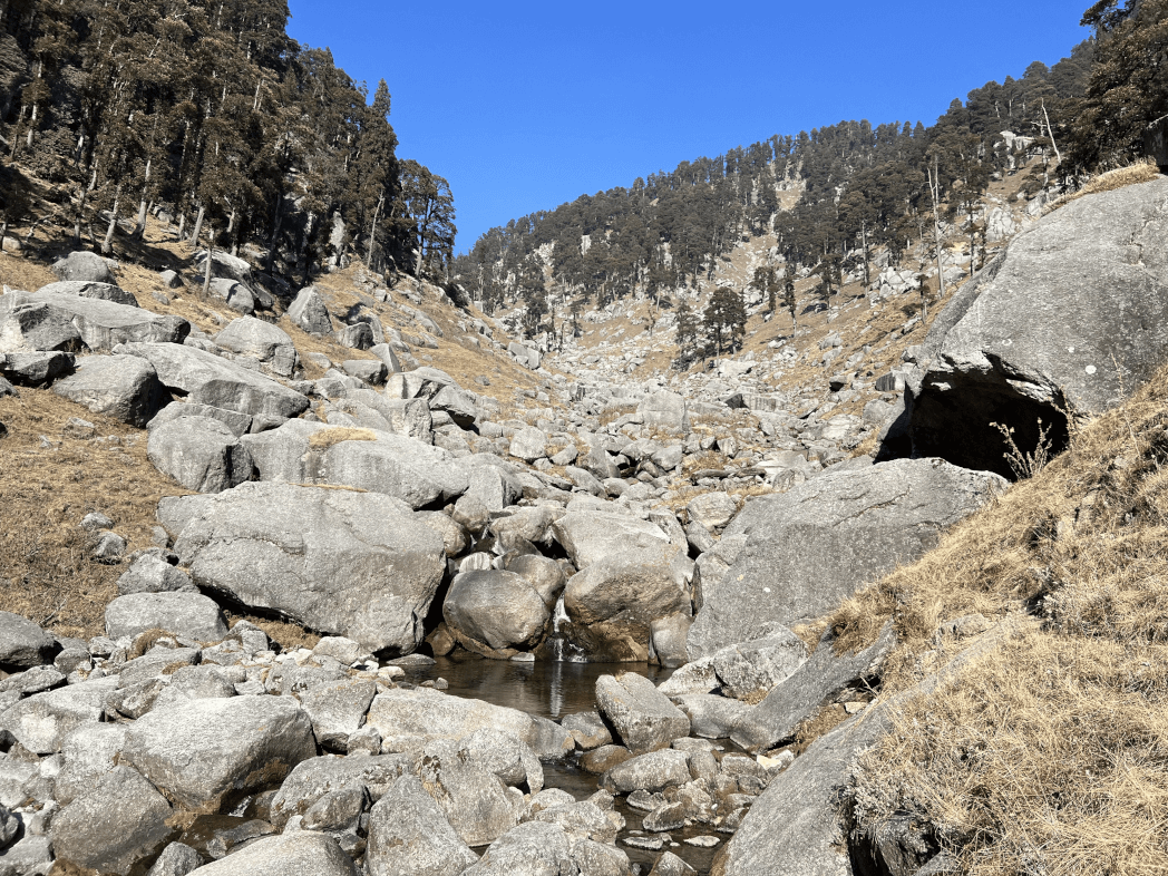
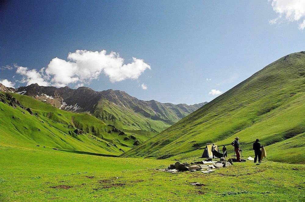
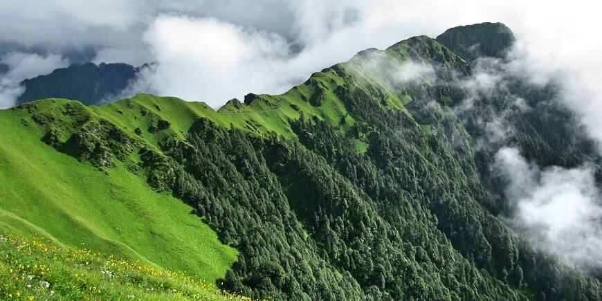
This journey will take you through the isolated districts of Garhwal and Himachal. The vegetation is abundant in these areas. The richness of pine, bhojpatra and deodar trees continues till you reach the undulating meadows of Kyarkoti by walking along the Jalindragad River. The walk begins at Harsil, a tiny yet well-known village. You will pass through Baspa Valley on your route. Chitkul is the final village in Baspa Valley; it contains lovely wood buildings and verdant areas for agriculture.
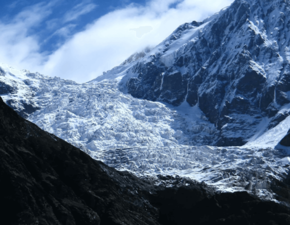
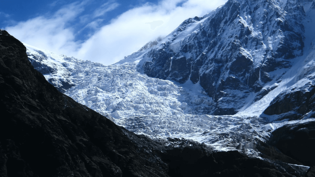
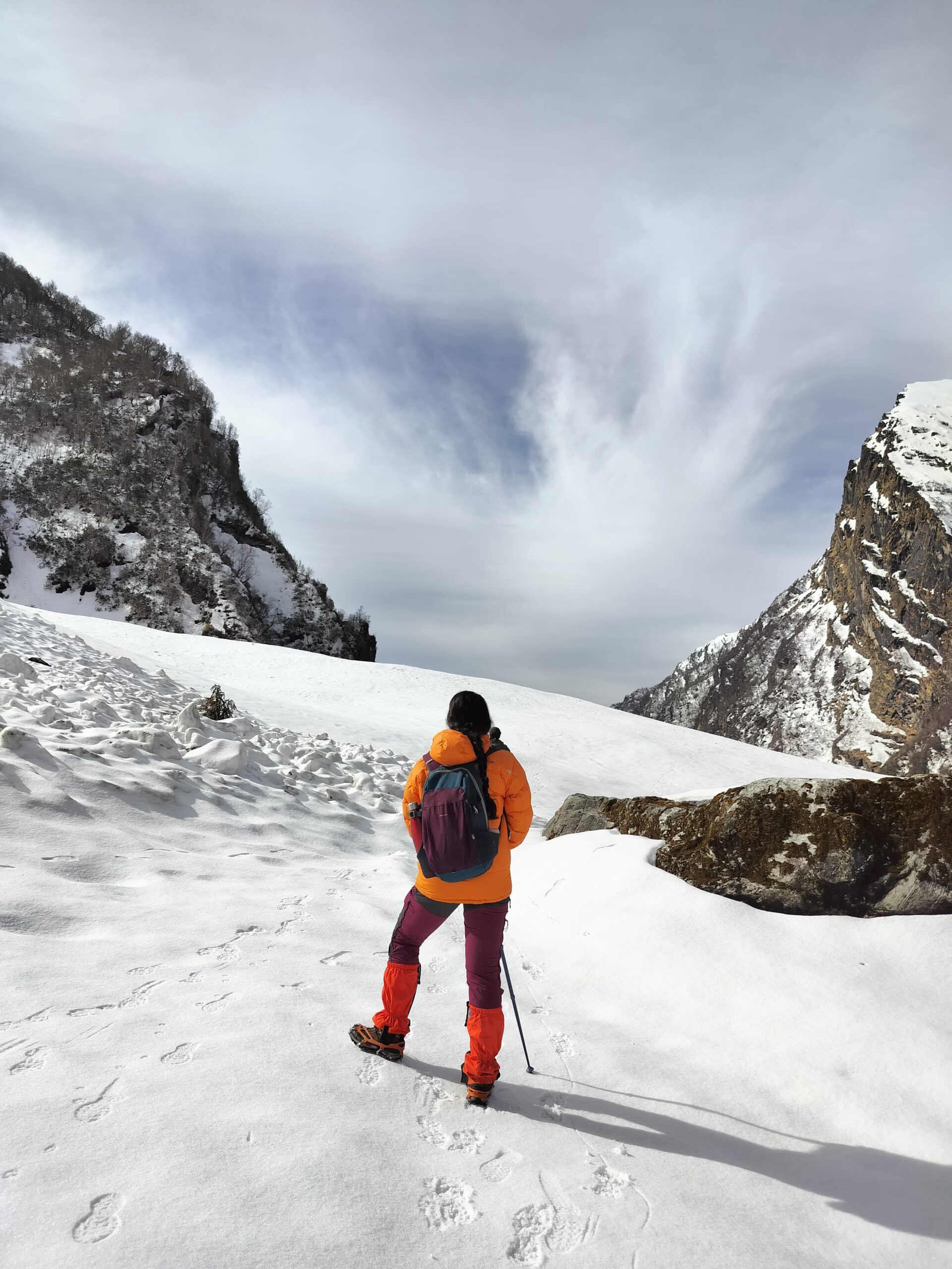
The Lamkhaga Pass Trek, which takes you through ever-changing environments, cultures, and traditions, is only for experienced trekkers with a prior understanding of difficult hiking. The Lamkhaga Pass Trek, encircled by gigantic peaks and threatening glaciers, experiences a large height increase in a relatively short amount of time, necessitating appropriate acclimatisation and high physical condition to effectively complete this epic adventure passing from one state to the other. This walk is best done in the months of May, June, September, and October.
History of Lamkhaga Pass Trek
This is a very distant journey that was first traversed in 1933 by Greek-British novelist and climber Marco Alexander Pallis. Pallis was a Greek-British climber and an author best known for his publications on Tibetan Buddhism. In 1933, he accomplished the first climb of Leo Pargial (6790m).
| AREA | Kinnaur Garhwal Himalayas |
| DURATION | 9 days |
| BEST SEASON | Between May to September |
| GRADE | Moderate to Challenging |
| ALTITUDE | 5300 m |
| APPROXIMATE KM | 90 km |
Highlights of Lamkhaga Pass Trek
- Trek via the Kyarkoti Bugyals, a beautiful alpine location.
- The Baspa River flows through to the Sangla Valley and is known for its trout (freshwater fish).
- Consider the views of the area on the other side of the political fence.
- Gaddi shepherds with their flocks of sheep and goats.
- Exotic species spotted include the Langoor, ibex, snow fox, mountain crow, and eagles.
Location of Lamkhaga Pass Trek
Lamkhaga is a high mountain pass on the Indo-China border that connects the northeastern Garhwal area to Kinnaur. It is located at an elevation of 17335 feet. It is not simple to get to the pass; one must cross narrow pathways, steep moraines, and treacherous glaciers, as well as obtain authorization from the border police force.
Best Time to Visit Lamkhaga Pass Trek
The Lamkhaga Pass Trek is a highly beautiful and steep trek in the Himalayas. It is ideal for individuals who have a strong passion for climbing and see it as a specific purpose in their lives. The best time to accomplish this walk is from the 15th of May to the end of June, and then from the end of August to the end of October. Snow is abundant here, especially in the months of May and June, making your walk both memorable and challenging.
How to Reach Lamkhaga Pass Trek
The walk begins at Harsil, which is around 230 kilometres from Dehradun. Harsil is quite close to Gangotri, a holy pilgrimage place. Between Dehradun to Sankri, there are public buses and shared jeeps. Dehradun is easily accessible by plane, train and car.
By Air:-
The closest airport to Harsil is Jolly Grant Airport in Dehradun, which is 240 kilometers distant. Flights from New Delhi to Dehradun are available.
By Train:-
The closest railway station to Harsil is in Dehradun, which is 250 kilometers distant. Several trains travel between Delhi and Dehradun, including the Dehradun Express, Mussoorie Express, and Nanda Devi Express. It is best to reserve your train tickets at least a month in advance.
By Road:-
There seem to be no direct buses from Delhi to Harsil. You may take a night UKTC bus or a Volvo from ISBT Kashmere Gate in Delhi to Dehradun. The distance between Delhi and Dehradun is approximately 247 kilometers. From Delhi to Dehradun, you may either take a taxi or an outstation cab.
The walk concludes in Chitkul, Himachal Pradesh, about 250 kilometers from Shimla. From Chitkul to Shimla, there are indirect public buses and shared taxis.
Itinerary of Lamkhaga Pass Trek
Day 1: Arrival in Harsil
Arrive in Harsil, one of the most picturesque villages in Uttarakhand’s Uttarkashi district, near Gangotri. It is around 230 kilometers from Dehradun. Take the road to Harsil. Overnight stay in a hotel.
Day 2: Harsil to Kyarkoti (3840 m) – 14 km
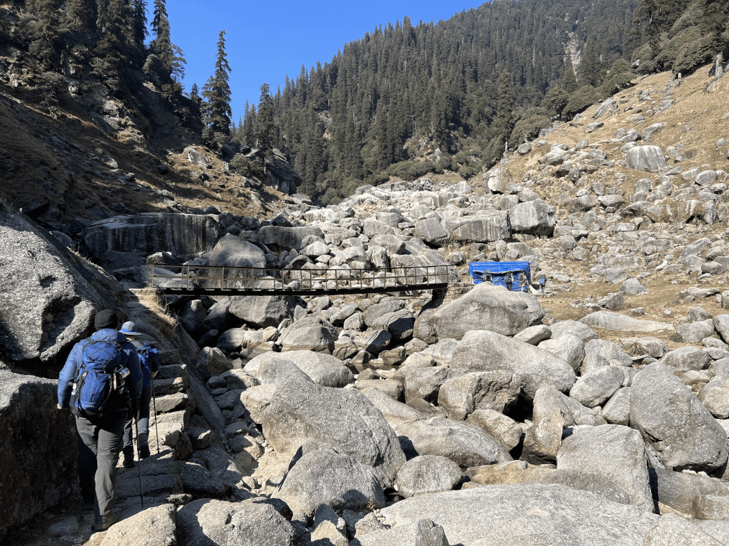
Begin your journey to Kyarkoti today, passing through dense woods and breathtaking scenery. Along the way to the campground for the night, you get to observe a beautiful diversity of flora and animals as well as cascading waterfalls. Overnight stay in Tent.
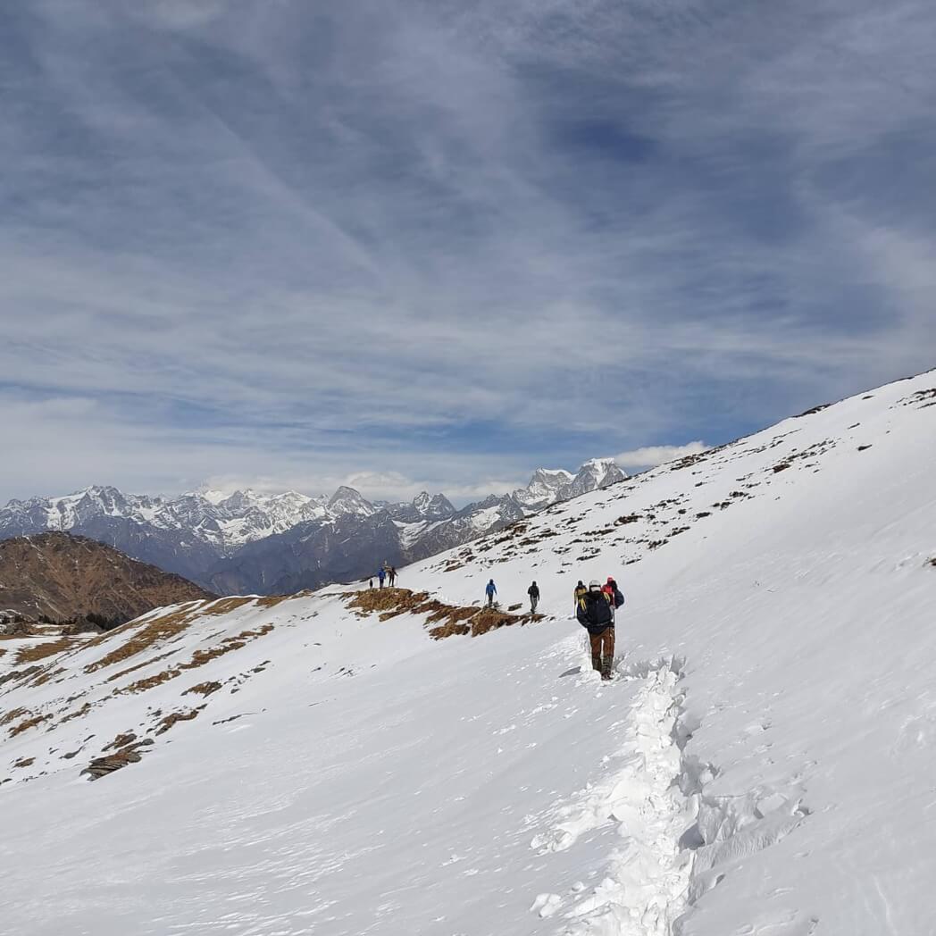
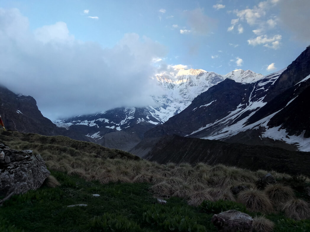
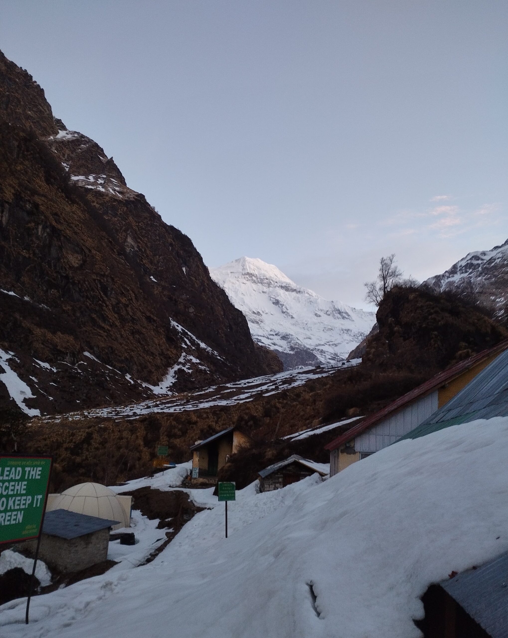
Day 3: Kyarkoti to Lamkhaga Pass Base Camp (4420 m) – 12 km
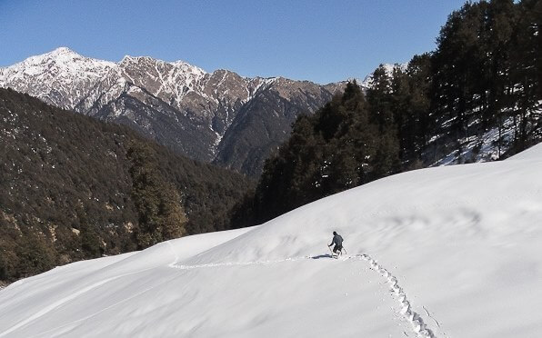
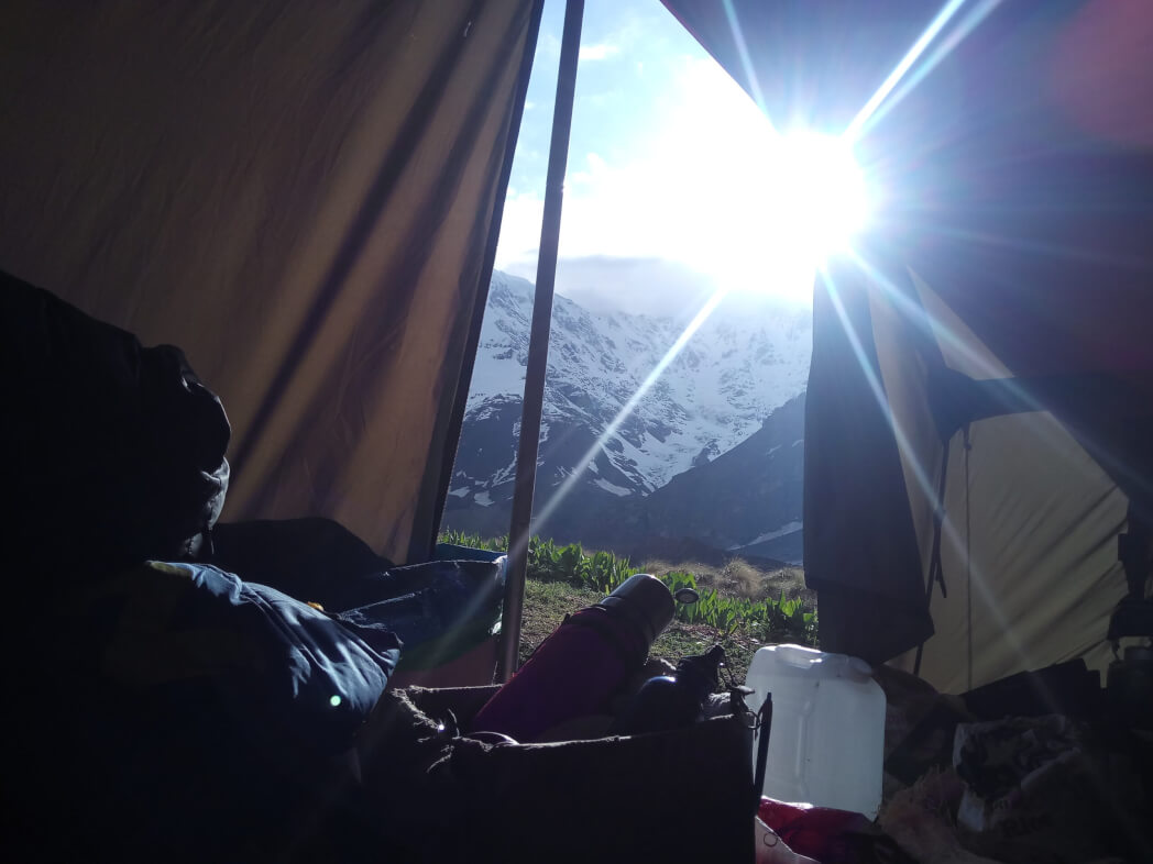
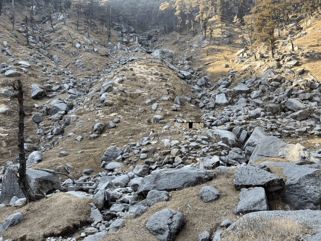
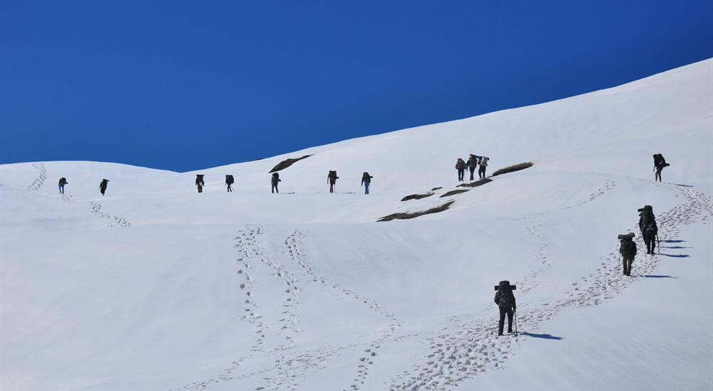
Trek to the Lamkhaga Pass base camp, which is 4420 meters above sea level. Because of the snow slopes and moraines, the ascent is steep and tough. Because of the hazardous terrain and tight valley, the need for specialized equipments may be required. Overnight stay in Tent.
Day 4: Acclimatization
Today you will recover and acclimate to the higher elevation, as well as prepare for the next day’s pass route, which will be difficult and strenuous. Overnight stay in Tent.
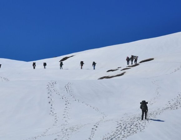
Day 5: Lamkhaga Base Camp to Gundar (4415 m) via Lamkhaga Pass (5281 m) – 13 km
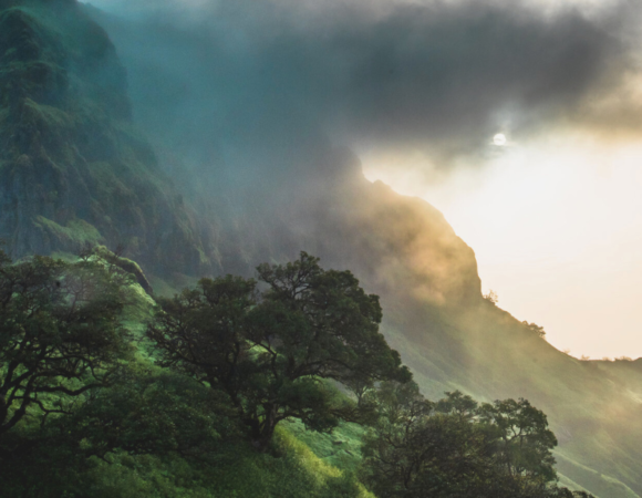
You’ll leave the base early today to traverse the Lamkhaga Pass. Because of the steep terrain and near-vertical slope, traversing this pass is extremely difficult and will necessitate the usage of equipment and rope. The vista from the pass is breathtaking, with glaciers and snowfields on either side surrounded by tall jagged Himalayan peaks. Continue using ropes to descend towards the Gundar campground. Overnight stay in Tent.
Day 6: Gundar to Dumti (4035 m) – 15 km
Leave the campground early because today will be a long journey with steep descents. Overnight in Dumti.
Day 7: Dumti to Rani Kanda (3680 m) – 9 km
The route to Rani Kanda is very lovely, with the valley filled with vibrant flowers and breathtaking waterfalls. It’s a sight to see. Overnight stay in Tent.
Day 8: Rani Kanda to Chitkul (3435 m) – 9 km
Today you will arrive at Chitkul, the final settlement in the Baspa Valley before the Indo-Tibet border. Overnight stay in a hotel/guesthouse.
Day 9: Depart from Chitkul
To Shimla, the entire distance traveled is around 250 kilometers.
Frequently Asked Questions (FAQ’s) for Lamkhaga Pass Trek
When is the ideal time to go on the Lamkhaga Pass Trek?
The Lamkhaga Pass Trek is best done during the pre-monsoon months of mid-May to June and the post-monsoon months of September and October.
What is the temperature going to be like on the Lamkhaga Pass Trek?
The temperature will fluctuate from 5 to 15 degrees Celsius during the day. The nights will be frigid, with temperatures ranging from -2 to -5 degrees Celsius.
When will there be snowfall on the Lamkhaga Pass Trek?
Snow can be expected on the Lamkhaga Pass Trek during the first season, which is May-June.
What is the length of the Lamkhaga Pass Trek?
The entire walk lasts 9 days and covers 90 kilometers.
Can an inexperienced person complete the Lamkhaga Pass Trek?
No, the Lamkhaga Pass Hike is a challenging level trek. It necessitates more strength and stamina than simple and modest level hikes.
What is the highest point in Lamkhaga Pass Trek?
Chitkul, the final destination of Lamkhaga Pass Trek is the highest (11316 ft.) and last village of Baspa Valley, along the banks of Baspa River.
10 Best Hill Station In Himachal Pradesh, Highlights, FAQ’s
10 Best Hill Stations In Maharashtra, Highlights & FAQ’s
10 Best Hill Stations In West Bengal – Best Time, How to Reach Highlights & FAQs
10 Best Maharashtra Trekking Places, Highlights, Treks & FAQ’s
10 Best Trekking Places Near Delhi In 2024 & FAQ’s

10 Best Treks in Himachal That You Can Do in Winters