It is general knowledge that the highest mountain peak in the world is Mount Everest, located in the Himalayan mountain range. And that is something we all know. But even though it is located in Nepal, India isn’t far behind in glory.
The highest mountain peaks in India act as a roof of the world and draw thousands of tourists from all over the world. And the Indian portion of the Himalayas is not the only famous one. The western and Eastern ghats also house some of the largest and most beautiful peaks in India.
Mount Evert may hog most of the fame, but India offers Kanchenjunga, the 3rd highest mountain peak in the world. Not to mention all the top 100 tallest mountains in the world are all around Asia. And India, the land of diversity itself, boasts some of the most beautiful mountain peaks all over the world.
So, in this article, we discuss the top 10 highest peaks in India and offer little-known facts about them.
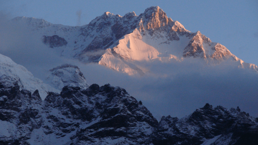
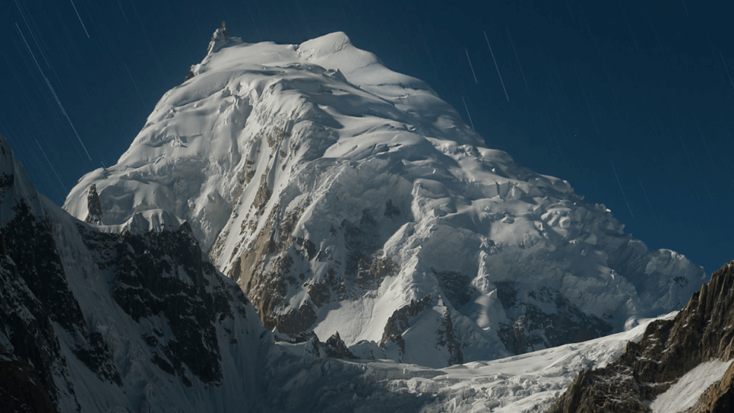
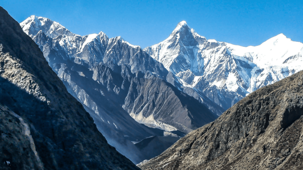
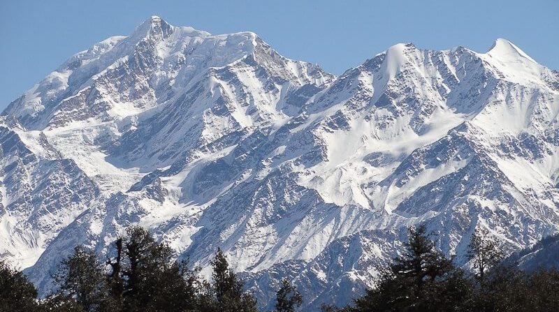
1. Mount Kanchenjunga
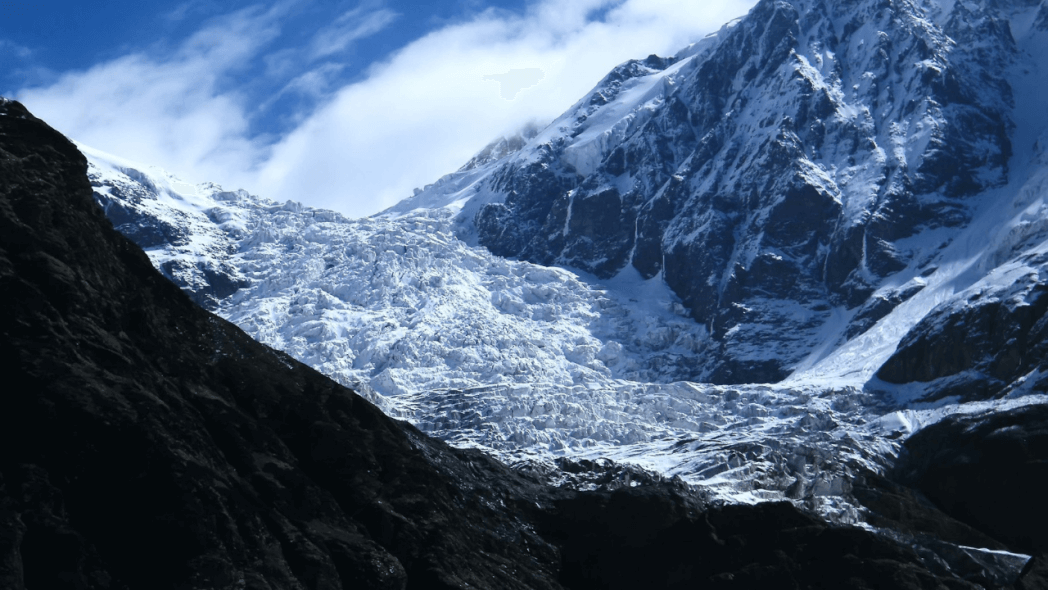
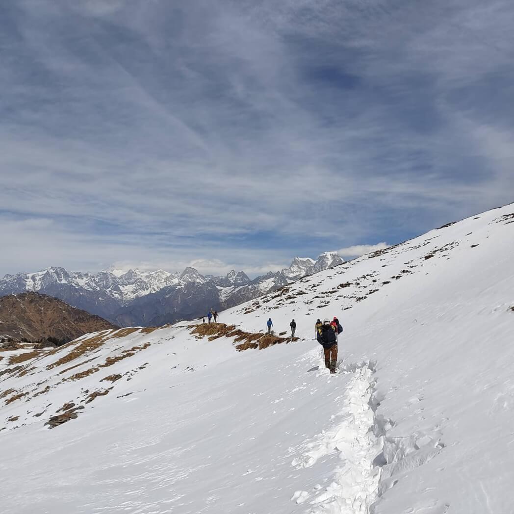
By any means, Kanchenjunga, the 3rd tallest mountain peak in the world, is a sight to behold. And located so high as it is, even being at the base camp is an adventure by itself. Located among the Himalayan mountains, it is situated east of Nepal, bordering the district of Sikkim, it terrifies the usual trekkers.
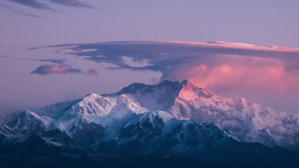
There are about 14 mountains in total with an elevation of above 8,000 meters on earth, and Kanchenjunga is one of them. But the fact remains that it is the 2nd least trekked mountain among these peaks. Apart from the thrill, climbing Kanchenjunga also offers a panoramic view of the other surrounding mountains. The base by itself also offers the trekkers enough opportunities to enjoy nature at its finest.
| Height of Mount Kanchenjunga | 8,586 meter |
| Location of Mount Kanchenjunga | Sikkim |
| Best time to visit Mount Kanchenjunga | May – October |
| Latitude of Mount Kanchenjunga | 27.7025° N |
| Longitude of Mount Kanchenjunga | 88.1475° E |
| Trivia | Nicknamed the “Five Treasures of Snow” |
How to Reach Mount Kanchenjunga:
If you plan to go for a trek here, there are many ways you can reach the base camp.
By Road- You can reach Yuksom from Geyzing (45 km) in under 5 hours if you rent a jeep. Pelling(35.9 km) and Gangtok(145.9 km) are 2 other places where you could reach in a jeep. Buses are also available at Yuksom to take you there.
By Railway- The nearest station to Yuksom is the station of New Jalpaiguri, about 150 km away. From there, you can either take a bus or a cab to Yuksom.
By Air– The nearest airport from Yuksom is Bagdogra which is about 160 km from Yuksom. A cab would take you to Yuksom from there.
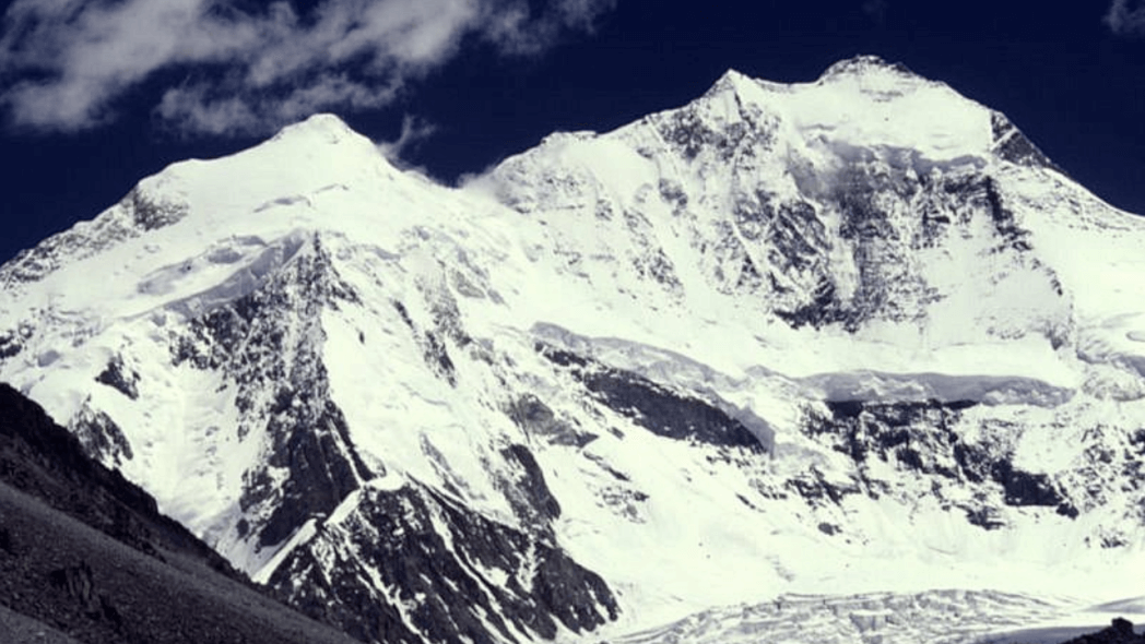
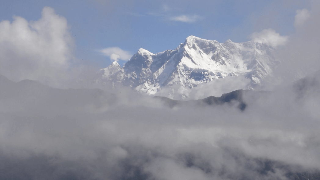
2. Mount Nanda Devi
Ranking 2nd among the highest mountain peaks in India, the Nanda Devi peak is quite popular for its religious attachment among Hindus. The name, Nanda Devi means the “Bliss-giving Goddess”, and is considered the Patron Goddess of the Uttarakhand Himalayas.
Located in the Greater Himalayas, in the Garhwal region of the Chamoli district of Uttarakhand, it is the favorite of most trekkers. But apart from the beautiful mountains, the region also houses the Nanda Devi Sanctuary, conserving a fragile ecosystem.
Uttarakhand as most mountaineers favor a state, so it is no wonder it generates such immense tourism. As the trek goes through its course, the climbers get to witness some of the best passes, forests, and meadows Uttrakhand offers. The base camp which starts at Munsiyari Village also has a peculiar charm of its own. And as a plus, the trekkers get to sample their famous medicinal herbs and even buy their famous woolly shawls spun from sheep goats’ hair.
| Height of Mount Nanda Devi | 7,816 meter |
| Location of Mount Nanda Devi | Uttarakhand |
| Best time to visit Mount Nanda Devi | May – October |
| Latitude of Mount Nanda Devi | 30.5411° N |
| Longitude of Mount Nanda Devi | 79.9716° E |
| Trivia | Best High-Altitude Flora & Fauna. |
How to Reach Mount Nanda Devi:
If you plan to go trekking at Nanda Devi peak, here are the ways you can reach the camp. The trek starts at Kathgodam, an easily reachable place. Trekkers from cities other than Delhi have to reach Delhi and then they have 2 options
By Train – Take the Ranikhet Express to Kathgodam, which reaches the destination early in the day.
By Bus – You can reach Kathgodam by bus as well, board it from Delhi’s Anand Vihar ISBT. The length of the journey is about 9 hrs. So, be sure to book the seats beforehand from the bus stand itself by being a little early.
By Air– The nearest airport from Yuksom is Bagdogra which is about 160 km from Yuksom. A cab would take you to Yuksom from there.
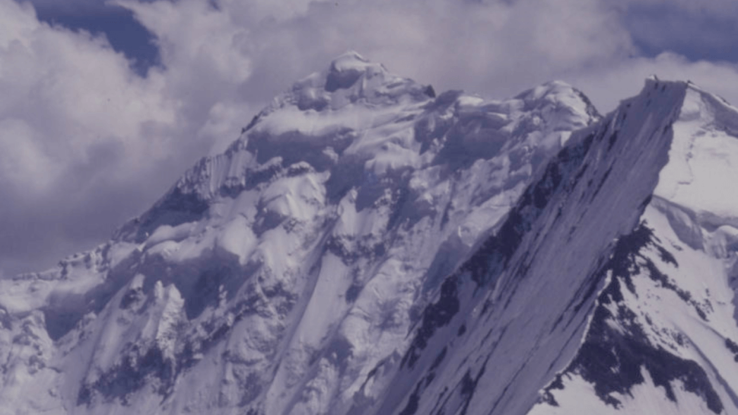
3. Mount Kamet
The location of Mount Kamet, one of the highest mountain peaks in India, is unique. Even though it is the 2nd highest peak in the Chamoli district of Garhwal Himalayas, it is popular by itself. Mount Kamet is also where India, Nepal, and Tibet meet. The locality may be tough to access, but that does not take away from its breathtaking beauty, enhanced by the sun’s rays.
But apart from the picturesque valleys and villages, the location also offers the very beautiful Vasundhara Tal as the basecamp. This glacial lake which remains frozen most of the time, along with the other small ponds makes up for an extremely attractive start to the journey.
| Height of Mount Kamet | 7,756 meter |
| Location of Mount Kamet | Uttarakhand |
| Best time to visit Mount Kamet | 2nd week of May- October |
| Latitude of Mount Kamet | 30.9198° N |
| Longitude of Mount Kamet | 79.5903° E |
| Trivia | Tibetan Kamet “Kang Med” means Burning Mountain. |
How to Reach Mount Kamet:
If you plan to go for a trek here, know that the standard route begins from the East Kamet glacier. The nearest town to Mount Kamet is Joshimath, and there are many ways to reach there.
By Road- You can reach Joshimath from the cities Rishikesh, Haridwar, and Dehradun because of its good connectivity. You can reach these places from Delhi, and then get a shared cab or bus to Joshimath. Buses from Rishikesh and Haridwar usually leave early in the morning.
By Railway- Joshimath does not have a railway station. So, the nearest station becomes Haridwar, which can be reached from Delhi. From Haridwar, you can get a bus or a cab to take you there.
By Air- The nearest airport from Joshimath is Jolly Grant in Dehradun. A cab would drop you at Joshimath from there.
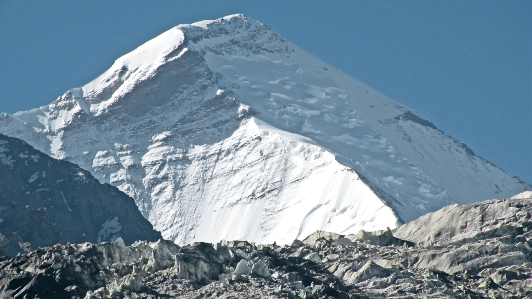
4. Saltoro Kangri
This mountain, which is one of the highest mountain peaks in India is part of a mountain range called the Saltoro range. This in turn is a minor part of the Karakoram mountains. But despite its popularity, it is located in one of the remotest parts of the range. And as on one side, it rises high above the valleys that are Pakistan-controlled, and on the other India, there is much upheaval in the area.
The military operations make this trek a very dangerous one. But all of these do not take away from the sheer beauty of this mountain range. And it remains one of the highest mountain peaks in the world.
| Height of Saltoro Kangri | 7,742 meter |
| Location of Saltoro Kangri | Sikkim |
| Best time to visit Saltoro Kangri | May – October |
| Latitude of Saltoro Kangri | 35.3996° N |
| Longitude of Saltoro Kangri | 76.8463° E |
| Trivia | Nicknamed the “Five Treasures of Snow” |
How to Reach Saltoro Kangri:
If you plan to go for a trek here, know that first, you have to reach Leh. There are many ways you can reach Leh.
By Road- There are two ways to reach Leh. You could either take the route from Manali to Leh, which covers around 500 km. Or you could go to Leh via Srinagar, which is around 450 km.
By Railway- Leh does not have a railway station. Thus the nearest station becomes Jammu Jammu Tawi, which is about 700 km from Ladakh and can be reached from Delhi.
By Air- The easiest way to get to Leh is by air. The destination is Kushok Bakula Rimpochee Airport in Leh, which is just 4 km away from the city. This airport is well connected to other cities like Delhi, Mumbai, Srinagar, and Jammu.
5. Saser Kangri
The Saser Kangri mountain is a very attractive one, even though it may seem comparatively unexplored. Situated in the Easterns Karakorams, this peak is nestled between the rivers Nubra and Shyok. And it is quite near another one of the highest peaks in India, the Saltoro Kangri, which is about 60 miles away.
The highest peak of the Saser Kangri mountain, however, is the Saser Muztagh, which is the easternmost sub-range of the Karakoram range. Another part of its beauty is the different glaciers that surround it, like the major North Shukpa Kunchang and the minor Sakang and Pukpoche Glaciers.
| Height of Saser Kangri | 7,672 meter |
| Location of Saser Kangri | Sikkim |
| Best time to visit Saser Kangri | May – October |
| Latitude of Saser Kangri | 34.8672° N |
| Longitude of Saser Kangri | 77.7511° E |
| Trivia | Nicknamed the “Five Treasures of Snow” |
How to Reach Saser Kangri:
If you plan to go for a trek here, Your first destination will be Leh. And, there are many ways to reach Leh from the major cities of India.
By Road- You can use any one of the 2 routes to reach Leh. The first is the route from Manali to Leh, which is around 500 km. And the next one goes to Leh via Srinagar, covering a distance of about 450 km.
By Railway- There is no railway station in Leh. So, by train, you would have to go to Jammu Jammu Tawi, which is 700 km away from Ladakh and can be reached from cities like Delhi.
By Air- The easiest, not to mention the quickest way to get to Leh is by air. You get down at Kushok Bakula Rimpochee Airport in Leh, just 4 km away from the city. The airport is also very well connected to other cities.
6. Mamostong Kangri
Nicknamed the mountain of “Thousand Devils”, Mamostong Kangri is truly an amazing sight. But its beauty is often untapped due to its location in one of the remotest parts of Ladakh.
The greater Karakoram is famous for housing some of the highest mountain peaks in India, along with this mountain. As part of the Rimo Muztagh, the entire area is a collection of broken glaciers and rugged peaks. But none of its inaccessibility takes away the fact that it is still among the tallest peaks in the whole world.
| Height of Mamostong Kangri | 7,516 meter |
| Location of Mamostong Kangri | Jammu & Kashmir |
| Best time to visit Mamostong Kangri | July- September |
| Latitude of Mamostong Kangri | 35.1417° N |
| Longitude of Mamostong Kangri | 77.5783° E |
| Trivia | Remote & not visited much because of the political situation. |
How to Reach Mamostong Kangri:
If you go for a trek around this region, then you can have a stellar view of Mamostong Kangri. The trek would be of Stok Kangri, from whose summit you can see a vast range of mountains, along with this one. To reach the base camp, your first stop would be at Leh, from where you can acclimatize and prepare yourself. You can take a flight or use the roadways to reach Leh.
By Road- If you want a road trip to Leh, use any of these 2 routes: Either take the route from Manali to Leh (500 km). Or, take the other one that goes to Leh via Srinagar (450 km.)
By Air- It is generally agreed that the best way to reach Leh is by taking a flight and getting down at the Airport. The Leh airport, Kushok Bakula Rimpochee Airport is just 4 km away from the city and connects to almost all the metro cities.
7. Rimo Peak
The main summit of the Rimo massif is the Rimo I mountain and is a major attraction for most trekkers. And even though its rank is 71st among the world’s highest peaks, it is quite unexplored. Located in the subrange of the Karakoram mountains, another feature of this peak is its glacier.
The Rimo glacier that drains into the Shyok river is truly a wonder by itself. The problem with this mountain is its remoteness. Even though it is the 7th highest mountain peak in India, it had been unexplored till as late as the 20th century. Another factor that adds to its remoteness is the political and militant squabble between Pakistan and India.
| Height of Rimo Peak | 7,385 meter |
| Location of Rimo Peak | Jammu & Kashmir |
| Best time to visit Rimo Peak | May-August, December- March. |
| Latitude of Rimo Peak | 35° 21′ N |
| Longitude of Rimo Peak | 77° 22′ E |
| Trivia | Rimo means “Striped Mountain.” |
How to Reach Rimo Peak:
Even if the Rimo peak is not much accessible, you can see it from afar if you go for a trek in this region. If you were to go trekking and reach the summit of Stok Kangri, depending on the weather, you would be able to see Rimo I. This trek starts at Leh, the first stop, from where you go to the base camp. Here are some ways you could reach Leh.
By Road- The road trip to Leh takes time and can be done in any one of the 2 ways. You can take the 500 km long road from Manali to Leh. Or you can opt for the 450 km stretch that reaches Leh via Srinagar.
By Air- You would save a lot of time if you were to just catch a flight to the Kushok Bakula Rimpochee Airport in Leh.
8. Hardeol Peak
As one of the highest peaks in India, the Hardeol peak is a sight to behold, especially for its location. Situated in the northeast corner of the ring that surrounds Mount Nanda Devi, the surrounding mountains add to its overall glory. Its exact location is the northern end of Milan valley, which is in the Pithoragarh district, Uttarakhand.
Despite its obvious charms, this peak did not attract the attention of most mountaineers, as there has been only one successful ascent. And most mountaineers approach this peak from the Eastern side, through the Ikualari glacier. But there are many beautiful sights there as well, like the Hardeol icefall.
| Height of Hardeol Peak | 7,151 meter |
| Location of Hardeol Peak | Sikkim |
| Best time to visit Hardeol Peak | May – October |
| Latitude of Hardeol Peak | 30° 33′ 35” N |
| Longitude of Hardeol Peak | 80° 0′ 38” E |
| Trivia | Nicknamed the “Five Treasures of Snow” |
How to Reach Hardeol Peak:
For a trek to Hardeol Peak, the nearest destination is Munsiyari, which is accessible by roadway. And for many treks into the Kumaon Himalayas, this place is the starting point. There are different ways you can reach Munsiyari.
By Road- You can reach Munsiyari from most of the towns and cities in the Kumaon district of Uttrakhand. You can also take a bus or hire a taxi to take you from Kathgodam, the junction of Kumaun Hills.
By Railway- The nearest railway station to Munsiyari is the Ramnagar railway station, which commutes to most of the important cities. From the station, you can get a cab or a bus to take you there.
By Air- The closest airport to Munsiyari is Pantnagar airport, which is about 188 km away. And with your choice of transportation, you can easily reach is well-maintained and convenient area.
9. Chaukamba Peak
The very name Chaukamba gives away the fact that this mountain peak is a collection of 4 enormous pillar-shaped mountains. Thus, the massif has 4 summits in total, all equally stunning. But the Chaukamba I remains one of the highest mountain peaks in India and one of the most popular ones among trekkers.
This summit also towers over the Gangotri glacier, giving it a very attractive view. Located in the northeast-southwest ridge of the Gharwal Himalayas, this peak is an adventure by itself. The sights and excitement make the Chaukamba peak one of the most popular even though it is a difficult and technical climb.
| Height of Chaukamba Peak | 7,138 mtr |
| Location of Chaukamba Peak | Uttrakhand |
| Best time to visit Chaukamba Peak | June- September |
| Latitude of Chaukamba Peak | 30.7483° N |
| Longitude of Chaukamba Peak | 79.2892° E |
| Trivia | First scaled by Indians in 1967. |
How to Reach Chaukamba Peak:
If you wish to go for a trek to Chaukamba Peak, your first stop would be the holy city of Badrinath located in the Chamoli district of Uttrakhand. And there are many ways to reach this city.
By Road- As Badrinath is a revered Hindu pilgrimage site, the city offers well-connected roads to other cities like Rishikesh, Haridwar, and Dehradun. You can reach these places from Delhi with a shared taxi, or you can avail yourself of the bus services. The buses usually start early.
By Railway- There is no railway station in Badrinath. So, by train, you have to go to Haridwar, which can be reached from most metro cities like Delhi, Mumbai, and Kolkata.
By Air- To get to Badrinath via flight, you have to get down at Jolly Grant airport in Dehradun. And from there you can take a bus to Badrinath.
10. Trisul Peak
The Trisul Peak got its name from its resemblance to Lord Shiva’s famous Trident. And this group of 3 mountains is located in the Bageshwar district. But apart from this interesting fact, there are many other ways this mountain attracts trekkers. Among the ring of peaks that enclose Mount Nanda Devi, the Trisul Peak claims the southwest corner.

Another interesting aspect of this peak is that even though it is just one of the highest mountain peaks in India, it was the first mountain with an elevation of above 7,000 meters to have been climbed by someone. Thus, we see plenty to attract mountaineers from all over.
| Height of Trisul Peak | 7,120 meter |
| Location of Trisul Peak | Sikkim |
| Best time to visit Trisul Peak | May – October |
| Latitude of Trisul Peak | 30°18′46″ N |
| Longitude of Trisul Peak | 79°46′38″ E |
| Trivia | Nicknamed the “Five Treasures of Snow” |
How to Reach Trisul Peak:
If you want to go trekking in the region, there are many places where you can start your journey. One of the most popular places to start is the city of Kausani, and there are many ways to reach it.
By Road- You can easily reach Kausani from most of the cities in the Kumaon district. You can even take a bus or get a taxi to take you there from Kathgodam, the transportation junction of Kumaun Hills.
By Railway- The nearest station to Kausani is Ramnagar railway station, from where you can go to most of the important cities. From there, you can take a cab to Kausani.
By Air-The closest airport to Kausani is Pantnagar airport, located about 291 km away. And you can easily reach this airport from Kausani as it is well maintained.
List of highest mountain peaks in India by states in India

| Rank | Highest Peaks of India | State | Elevation (m) | Latitude | Longitude |
| 1. | Mount Kanchenjunga | Sikkim | 8, 586 | 27.7025° N | 88.1475° E |
| 2. | Mount Nanda Devi | Uttarakhand | 7, 816 | 30.5411° N | 79.9716° E |
| 3. | Mount Kamet | Uttarakhand | 7, 756 | 30.9198° N | 79.5903° E |
| 4. | Saltoro Kangri | Jammu & Kasmir | 7, 742 | 35.3996° N | 76.8463° E |
| 5. | Saser Kangri | Jammu & Kasmir | 7, 672 | 34.8672° N | 77.7511° E |
| 6. | Mamostong Kangri | Jammu & Kasmir | 7, 516 | 35.1417° N | 77.5783° E |
| 7. | Rimo Peak | Jammu & Kasmir | 7, 385 | 35° 21′ N | 77° 22′ E |
| 8. | Hardeol Peak | Uttarakhand | 7, 151 | 30° 33′ 35” N | 80° 0′ 38” E |
| 9. | Chaukamba Peak | Uttarakhand | 7, 138 | 30.7483° N | 79.2892° E |
| 10. | Trisul Peak | Uttarakhand | 7, 120 | 30°18′46″ N | 79°46′38″ E |
Highest Mountain Peaks in India 7000 mtr
| Highest Peaks of India | Elevation |
| Mount Nanda Devi | 7, 816 |
| Mount Kamet | 7, 756 |
| Saltoro Kangri | 7, 742 |
| Saser Kangri | 7, 672 |
| Mamostong Kangri | 7, 516 |
| Rimo Peak | 7, 385 |
| Hardeol Peak | 7, 151 |
| Chaukamba Peak | 7, 138 |
| Trisul Peak | 7, 120 |
Highest Mountain Peaks in India by Latitude and Longitude
| Rank | Highest Peaks of India | State | Elevation (m) | Latitude | Longitude |
| 1. | Mount Kanchenjunga | Sikkim | 8, 586 | 27.7025° N | 88.1475° E |
| 2. | Mount Nanda Devi | Uttarakhand | 7, 816 | 30.5411° N | 79.9716° E |
| 3. | Mount Kamet | Uttarakhand | 7, 756 | 30.9198° N | 79.5903° E |
| 4. | Saltoro Kangri | Jammu & Kasmir | 7, 742 | 35.3996° N | 76.8463° E |
| 5. | Saser Kangri | Jammu & Kasmir | 7, 672 | 34.8672° N | 77.7511° E |
| 6. | Mamostong Kangri | Jammu & Kasmir | 7, 516 | 35.1417° N | 77.5783° E |
| 7. | Rimo Peak | Jammu & Kasmir | 7, 385 | 35° 21′ N | 77° 22′ E |
| 8. | Hardeol Peak | Uttarakhand | 7, 151 | 30° 33′ 35” N | 80° 0′ 38” E |
| 9. | Chaukamba Peak | Uttarakhand | 7, 138 | 30.7483° N | 79.2892° E |
| 10. | Trisul Peak | Uttarakhand | 7, 120 | 30°18′46″ N | 79°46′38″ E |
Frequently Asked Questions for Highest Mountain Peaks in India
Which is the highest peak in India?
Mt. Kanchenjunga is India’s Highest peak with an elevation of 8, 586 meters.
Why is Mt. K2 not considered India’s highest peak?
Even though Mt. K2 has an elevation of 8, 611 meters, according to the internationally recognized border LAC, it comes under Pakistan.
Why is Mt. Kanchenjunga known as the virgin peak?
The true summit of Kanchenjunga is considered sacred to Buddhists and Hindus, so no one is allowed to climb them. Thus the last 150 Ft remain unconquered.
Which is the highest trek in India?
The Stok Kangri Trek, with its elevation of 6,153 meters is the highest trekking summit in India.
Which is the oldest mountain range in India?
The Aravalli range is not only the oldest mountain range in India, but it is also the oldest mountain range in the whole world.
Which city is called the roof of India?
Ladakh is generally said to be the roof of India due to its stunning view of the Himalayas and its mountains.
What is referred to as the “roof of the world”?
The Tibetian plateau is generally said to be the roof of the world because its average elevation is about 4, 500 meters.
Which is the youngest mountain in India?
The youngest mountain range in India is the Himalayan mountain range.
What does the name “Himalaya” mean?
The name has Sanskrit origins, where “Hima” means “snow” and “Alaya” means “abode”.
Who discovered the Himalayas first?
The French geographer Jean-Baptiste Bourguignon d’Arville was the first person in the world to correctly measure the height of the Himalayan peaks.
10 Best Hill Station In Himachal Pradesh, Highlights, FAQ’s
10 Best Hill Stations In Maharashtra, Highlights & FAQ’s
10 Best Hill Stations In West Bengal – Best Time, How to Reach Highlights & FAQs
10 Best Maharashtra Trekking Places, Highlights, Treks & FAQ’s
10 Best Trekking Places Near Delhi In 2024 & FAQ’s

10 Best Treks in Himachal That You Can Do in Winters

[…] Highest Peak In India […]
[…] Read more: Highest Peaks In India […]
[…] Read more: Highest Peaks In India […]
[…] Read more: Highest Peaks In India […]