Mountains are the most substantial evidence of all the evolutions that have happened on earth, since the beginning of time. Mountains have witnessed and are witnessing what we humans can’t even fathom. They hold the secrets of our history and the solutions to our future.

As John Muir rightly said, “We are now in the mountains and they are in us, kindling enthusiasm, making every nerve quiver, filling every pore and cell of us”.
The Mountain Ranges in India are realms of the world’s most precious, that too endemic species of flora and fauna on Earth. These Mountain Ranges in India offer diversity in landscapes, cultures, etc. These Mountain Ranges are the pride of every Indian.
1. Himalayan Mountain Range in India
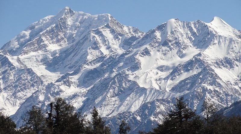
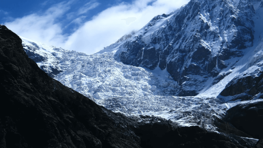
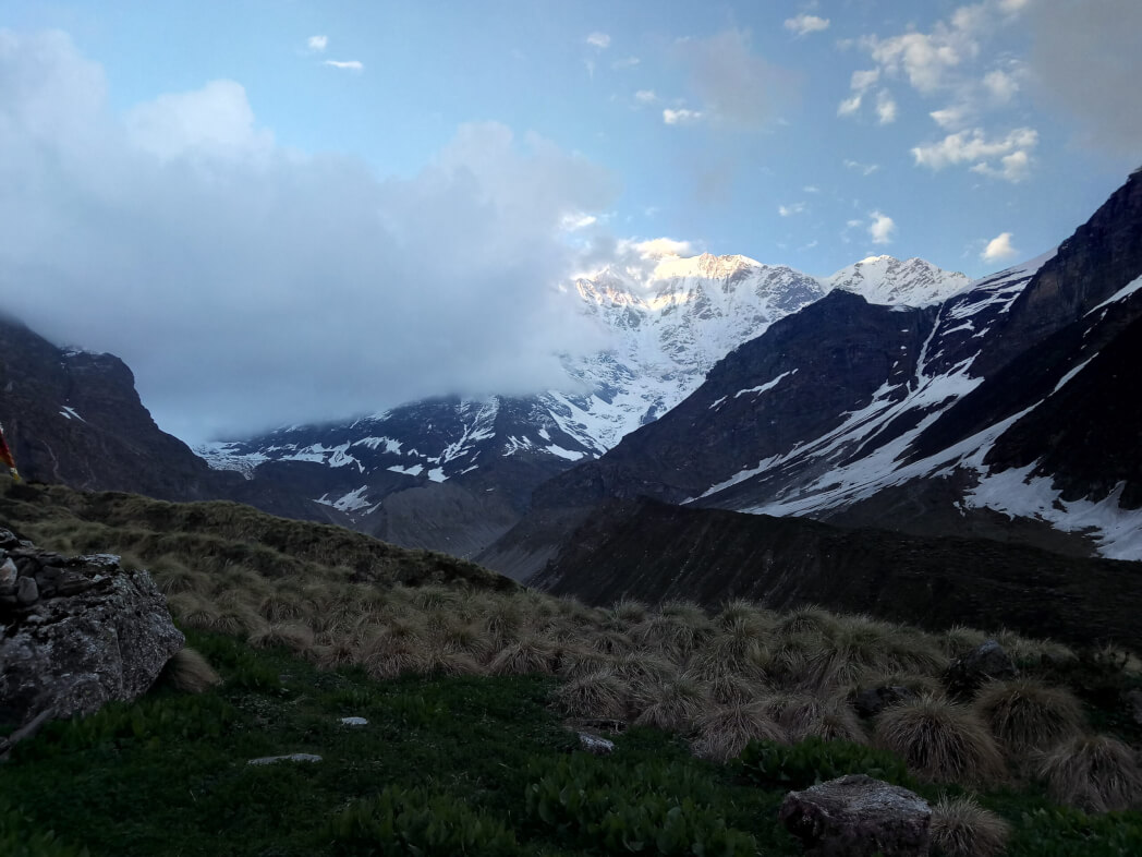
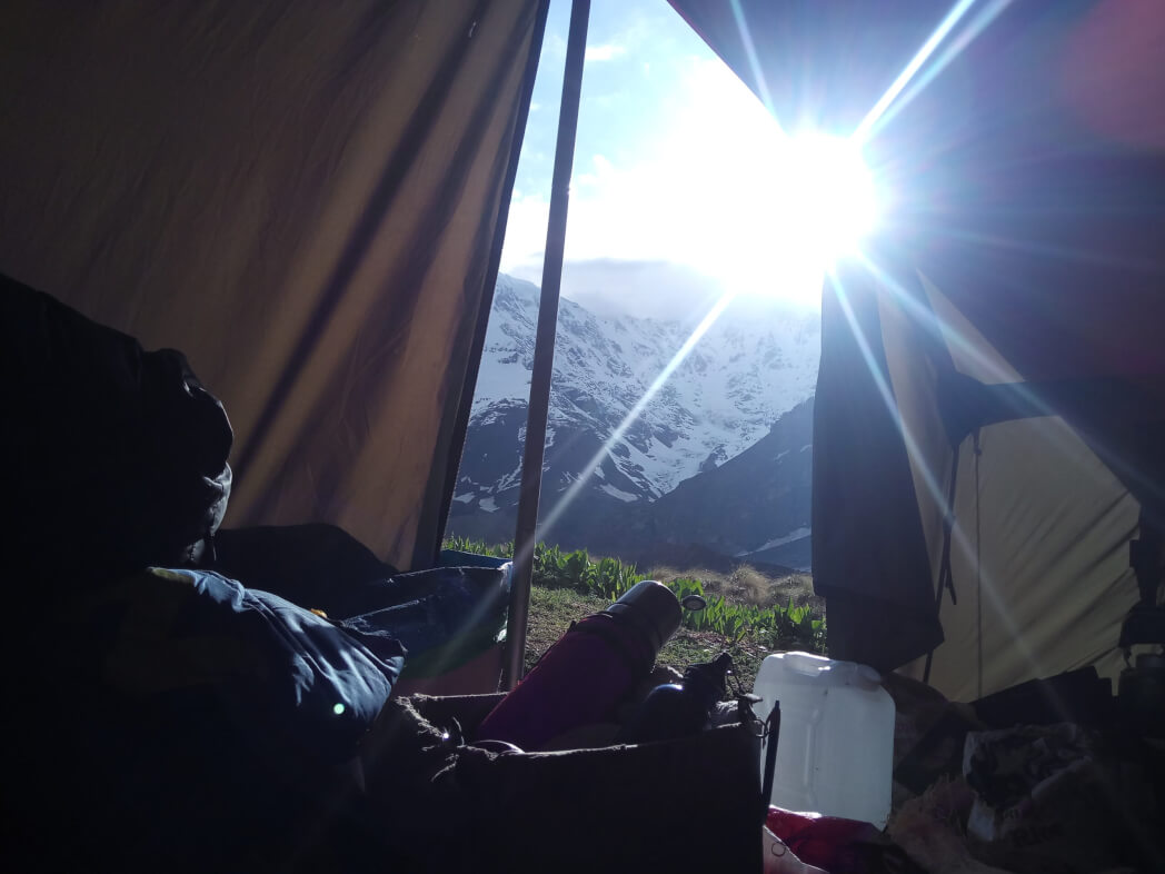
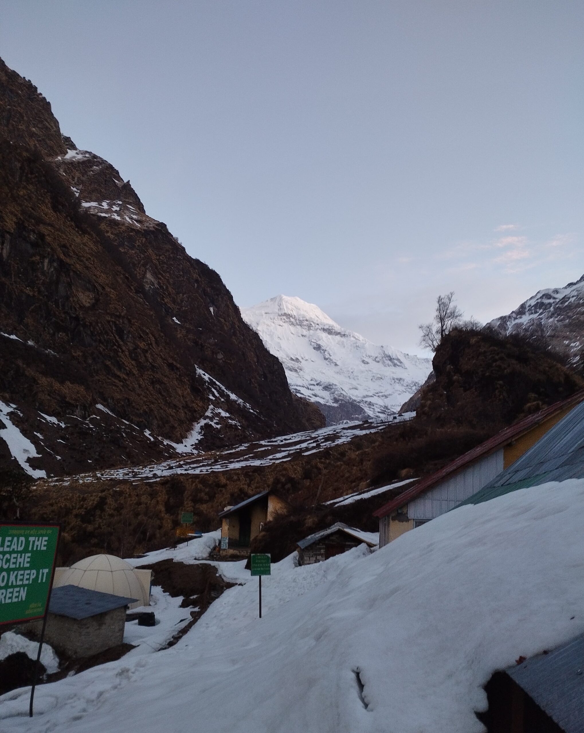
The Himalayas is the world’s most monumental and enormous mountain range, spread across 5 countries of southeast Asia. They dissociate the Indian subcontinent from the Tibetan Plateau. The word Himalaya means “abode of snow” and is true to its name, the mountain range is full of the rarest sceneries and topographies.
The Himalayas not only house the world’s highest peak, Mt. Everest but also about 100 peaks more, which are above 7200m above sea level and still growing an inch every year, pushing India northward. This pristine mountain range is sometimes also called the Third Pole of Earth because of its enormous size and biodiversity.
| Total Area Occupied | 595,000 Square km |
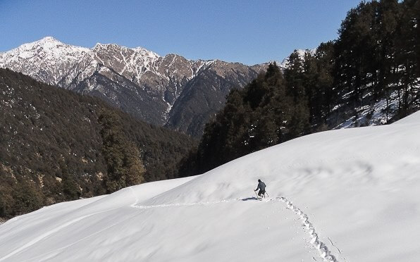
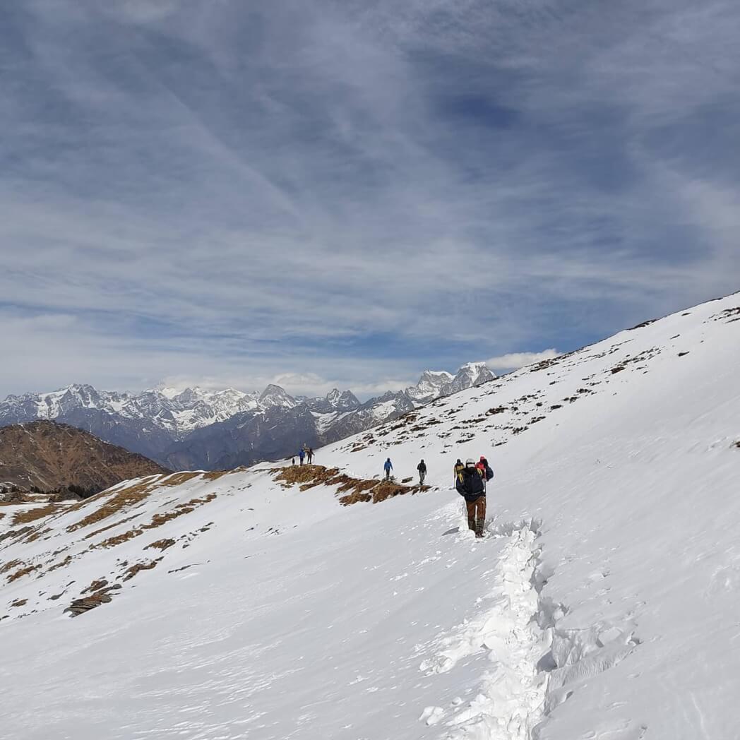
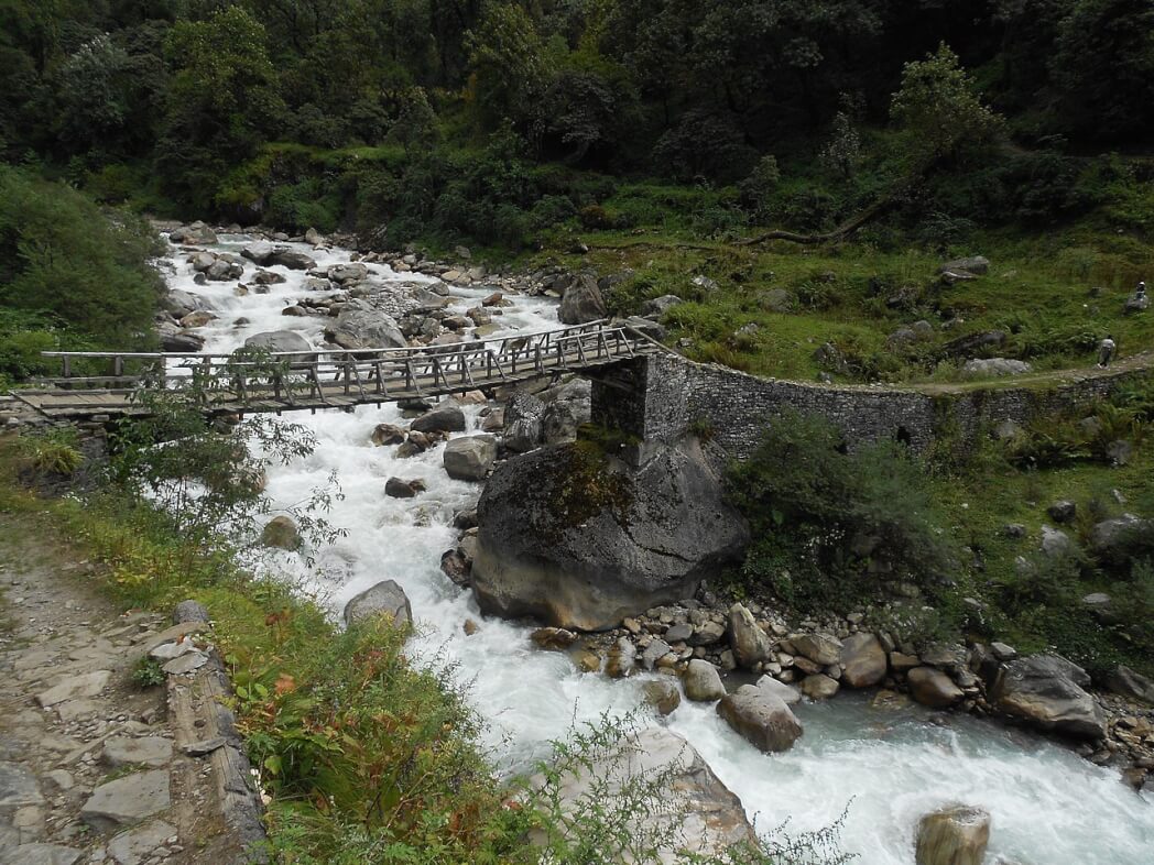
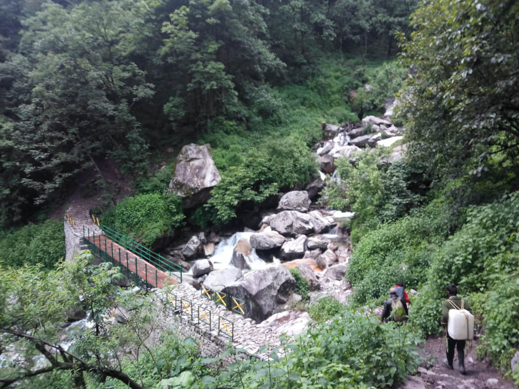
| Major Treks of the region | Brahmatal, Dayara Bugyal, Kedarkantha, Phulara Ridge, Tarsar-Marsar, Sandakphu, Har-ki-Dun and many more |
There are three major ranges in the Himalayan Mountain Range in India:
1. The Greater Himalayan Mountain Range in India
The northernmost highest mountain Range in the Himalayas, popularly known as Himadri, is the land where different topographies, cultures, and religions meet. This Himalayan mountain range has a religious aura to it, the devotees of Hinduism, Jainism, Buddhism and Islam believe that this range is the home to their higher powers
The mountain is well connected through some major passes like Burzil Pass, Zoji La, Shipki La, Thaga La, Niti Pass, Nathu La, etc. This mountain range is spread across 7 Indian states and union territories, Ladakh, Jammu and Kashmir, Uttarakhand, Sikkim, West Bengal, and Arunachal Pradesh. The mountain range has an average elevation of 6000 m above sea level. The glaciers present here have not only ecological but also emotional values attached to them, the main two being – Gangotri Glacier and Yamunotri Glacier.
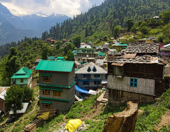
2. The Lesser Himalayan Mountain Range in India
This mountain range in India is situated north of Shivaliks and south of the Greater Himalayas is the Middle Himalayan mountain range known as Himachal or Lower Himalayas. The Lesser Himalayas are present in the Indian states of Uttarakhand and Himachal Pradesh, also occupying the Kashmir Valley of Jammu & Kashmir, Darjeeling in West Bengal, and Gangtok in Sikkim.

This mountain range has some of the most popular hill stations of India – Shimla, Manali, Dalhousie, Dharamshala, Ranikhet, Nainital, Mussoorie, and Almora. The mountain range has an elevation of 3500-4500 m above sea level, is 60-80 km in width, and is 2400 km long.
The main ranges of The Lesser Himalayan Mountain Range in India are:
- Pir Panjal Range (Pir ki Gali)
The most significant and longest range in the lesser Himalayas stretches from east to west. It stretches 300 km from the Jhelum river to the upper Beas River. The mountains reach an elevation of 5000m and are made up of volcanic rocks. Also home to the infamous Galyat Mountains and some major passes like Pir Panjal Pass, Bidil, and Gulabgarh Pass.
| Treks of the Region | Hanuman Tibba, Friendship Peak, Mukar Beh, Sunset Peak, etc |
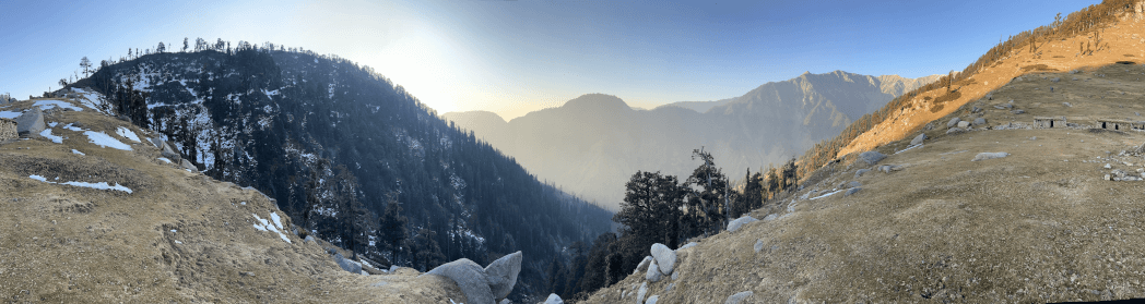
- Dhauladhar Range
Beginning in Dalhousie, Traveling through the entire state of Himachal Pradesh, this mountain range reaches the Beas River in the district of Kullu. Near Manali, this mountain range combines with Pir Panjal. The distinctive feature of these mountains is black granite rock formations which are best viewed from Kangra Valley.
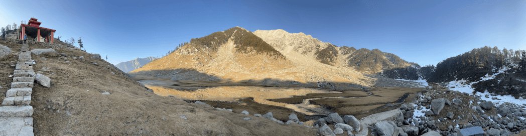
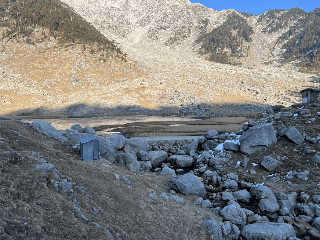
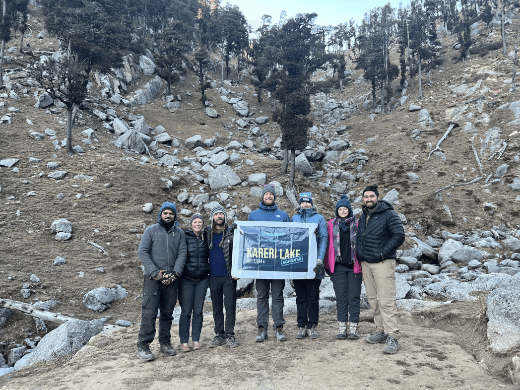
| Treks of the Region | Kareri Lake, Thatharna Lake, Guna Mata, Indrahar Pass, Aadi Himani Chaumunda trek etc |
3. The Outer Himalayan Mountain Range in India
The infamous Shivalik Range is often considered the Himalayan Foothills. The mountain range consists of a lot of valleys and hills, the elevation being 600 m to 1500 m, and starts with a width of 50 km in Himachal Pradesh to less than 15 km in Arunachal Pradesh.

The mountain is 2400 km long from the Potwar Plateau to the Brahmaputra Valley. The holy pilgrimage of Haridwar and Rishikesh attracts a lot of Hindu pilgrims, the mountain range is also home to the Buddhist monks who ran away from Tibet.
The mountain range is unique in its formation from conglomerates – a mix of sand, silt, gravel, stone, etc. The mountain range is also known for being a spectacle from the legendary Kalka Shimla Mountain Railway toy train which starts in Chandigarh and ends in Shimla.
2. Trans – Himalayan Mountain Range in India
Formed by the east Nyenchen Tanglha Range and west Gandise Range, this mountain is collectively called the Trans-Himalayas. This mountain range is the most isolated and remote mountain range in India.

The mountain range is present to the north of the Greater Himalayas and is majorly present in Tibet, hence also called Tibet Himalayan Region. The mountain range runs 1000 km in an east-west direction with an average elevation of 3000 m above sea level.
| Total Area Occupied | 98,980 square km |
| Major Treks of the region | Gorkha Manalsu, Annapurna Base camp, Lantang & Helambu etc |
There are four major ranges in the Trans-Himalayan Range in India:
1. Karakoram Range: Trans – Himalayan Mountain Range in India
Often called the “Backbone of High-Asia”, “Roof of the Earth” and “Krishnagiri Range” this rugged mountain range is the northernmost part of the Trans-Himalayan Mountain Range in India. The mountain range is surrounded by the Nubra Valley in the south and in the north enters the Gilgit-Baltistan region of Pakistan.

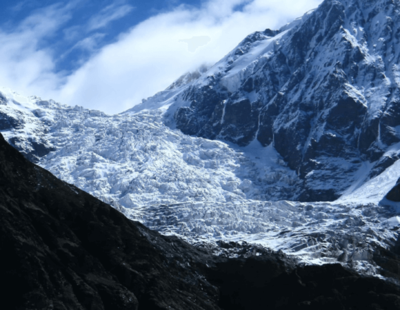
Stretching 800 km east of Pamir, The peaks of this mountain range are rarely below 5500 m, some even reaching 8000 m above the sea level, and housing Siachen Glacier and Biafo Glacier, the world’s 2nd and 3rd largest glaciers respectively.
| Treks of the Region | K2 Base camp, Spantik Expedition, Masherbrum Expedition, Gondogoro La, Snow Lake Hispar La, etc. |
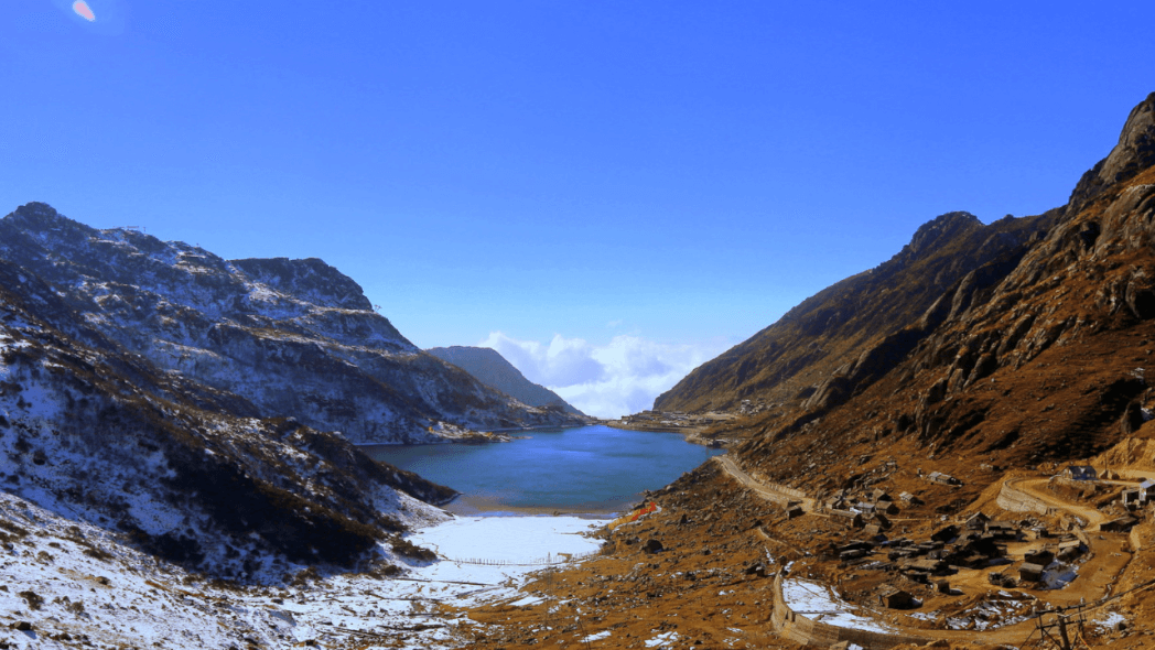
2. Ladakh Range: Trans – Himalayan Mountain Range in India
Located to the north of Leh and merging with the Kailash Range, This mountain range is bordered in the east by the Chinese Tibet Autonomous Region, in the south by Himachal Pradesh, and in the west by the Jammu & Kashmir and Gilgit-Baltistan region of Pakistan. The region is drained by the Indus river but is also the world’s highest and driest inhabited area, hence called a cold desert.

Ironically the mountain range is not known for its peaks but for high-altitude mountain passes the most famous among them are Khardung La and Digar La. The mountain range’s enchantress can be witnessed by the Sham Valley Trek.
| Treks of the Region | Stok Kangri, Snow leopard, Markha Valley, Kang Yatse etc |
3. Kailash Range: Trans – Himalayan Mountain Range in India
The mountain range is the offshoot of the Ladakh Range in the western Tibet. The Kailash Ridge is a rocky terrain with an elevation range of 5500-6000 m above sea level. The highest peak of the region is Mt. Kailash which serves as an ultimate pilgrimage in both Hinduism and Buddhism.

In Buddhist holy texts, Mt. Kailash is called Mt. Meru and in Hinduism, Mt. Kailash is believed to be the home of Lord Shiva, also at a distance of 20 km from Mt. Kailash – The Kailash Mansarovar, a holy water body.
| Treks of the Region | Kinner Kailash Parikrama trek |
4. Zanskar Range: Trans – Himalayan Mountain Range in India
Situated in the Trans-Himalayan and China’s Western Tibet Autonomous Region, this mountain range divides Tibet from the Kashmir region of Zanskar and Chenab River.

The range is home to some of the tallest and most famous peaks – Nun, Kun, Pinnacle peak, White Needle, and Z1. During winter the snow cuts the Zanskar region from the rest of India, the only way left to travel is to walk the frozen lake of Zanskar also called the famous Chadar Trek.
| Treks of the Region | Padum-Karsha, Chadar Lake, etc |
3. Purvanchal Mountain Range in India
The mountain range serving as the eastern extension of the Himalayas is formed by the sharp southward bend of the Himalayas beyond Dihang Gorge. The mountain range is present to the south of the Brahmaputra river and also forms the border between India and Myanmar.

Mainly composed of sedimentary rocks, the mountain range has a relatively lower elevation. The region is a hive of culture, tribal life, and biodiversity.
| Total Area Occupied | 94,800 square km |
| Major Treks of the region | Saramati peak, Mt. Tiyi, Dzukou Valley, Pulie Badze, etc |
The major hills of the Purvanchal Mountain Ranges in India are:
1. Patkai Hills: Purvanchal Mountain Range in India
The word “patkai” means “to cut chicken” in Tai-Ahom language. The strong sandstone hills have an average elevation of 2500 m and are not as rough as himalayas,
2. Mishmi Hills: Purvanchal Mountain Range in India
The hills being the southward extension of the Great Himalayas, touches China in the northern and eastern region. Daphna Bum, the highest peak of the Purvanchal Mountain Range in India, is present at the northeastern tip of Arunachal Pradesh.
3. Naga Hills: Purvanchal Mountain Range in India
Naga hills merge with the Patkai hills where Saramati is the highest peak of Nagaland. Both hills together form the watershed between Indian and Myanmar.
4. Manipur Hills: Purvanchal Mountain Range in India
South of the Naga hills are the Manipur Hills. The hills are situated north of Nagaland, with Mizoram in the south, Myanmar in east and Assam in west. And has an elevation less than 2500m.
5. Mizo Hills: Purvanchal Mountain Range in India
South of the Manipur hills is the Mizo hills, formerly known as Lushai Hills. Phawngpui, the highest peak of Mizoram, also known as the “Blue Mountain”.
4. Aravalli Mountain Range in India
Stretching 670 km in the southwest direction, this mountain range is present in Northern-Western India. The word Aravalli has its origin in the Sanskrit language and means “line of peaks” but ironically due to industrialization and so-called development programs, all that is left are the residual hills with an elevation range being only 300-900m.
The mountain range is among one of the oldest fold mountain systems in India, showing evidence of a civilization that dates back to the stone age. The mountain range runs through the Indian States of Delhi, Haryana, Rajasthan, and Gujarat, deciding the climatic conditions, monsoon, and a major forest cover in the 4 Indian States.
Guru Shikhar, the highest peak of Aravali Mountain Range in Sambhar Sirohi Range is located in Mount Abu, near Gujurat’s Border is a hill station bustling with tourism and is seen as a beautiful weekend destination by residents of nearby states.
| Total Area Occupied | 11,256 square km |
| Major Treks of the region | Udaipur, Mount Abu, Boondi, etc |
5. Vindhya Mountain Range in India
The block mountain range is located in central India, north of the Narmada River in Madhya Pradesh. The mountain range is one of the oldest mountain ranges in India, which is counted in the “Sacred Seven Mountain range of India” and is part of the Indian National Anthem along with the Himalayas. Historians believe that the mountain divides the Sanskrit-speaking Aryans from the Dravids of the South.

The sandstone composition of the mountain range makes it stunted with an average elevation of 900 m as the mountains have flat tops, giving a plateau-like appearance and these sandstones are also used to make the Buddhist stupas at Sanchi and the temple in Khajuraho.
The 1086 km long mountain range runs from Gujarat on the west to the Ganga River Valley in Varanasi, and on its way divides the Indo-Gangetic plain from the Deccan plateau.
Kalumar peak/Goodwill Peak is the highest peak in the Vindhyachal Mountain Range, near Singrampur in Damoh District. The entire Vindhyachal Mountain Range is covered in Dry-Deciduous forest filled with teak, oak, bamboo, etc.
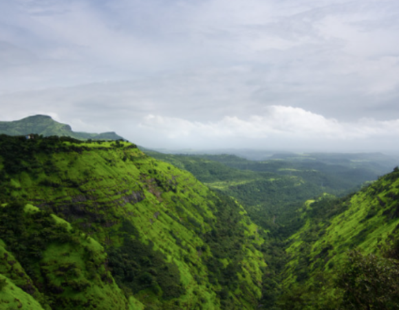
6. Satpura Mountain Range in India
Situated in central India and south to the Narmada River in Madhya Pradesh, this mountain range is 900 km long starting in eastern Gujarat and running its course through Madhya Pradesh and Maharashtra, and finally ending in Chhattisgarh.

The mountain range is formed because of tectonic plates, folds, and upheavals as the name also suggests it is Satpura or seven folds and composed of schist, granites, quartzites, etc.
The eastern end of the Satpura mountain range joins the Chota Nagpur Plateau. The range offers a lot of recreational activities like hiking, trekking, and fishing to tourists but the only hill station in this range is Panchmari, the “Queen of Satpura”.
| Total Area Occupied | 524 square km |
| Major Treks of the region | Igatpuri, Ratanwadi, Suryamal, Matheran, Karjat, Lonavala, Durshet, Gaumukh etc, |
The seven ranges or folds of the Satpura Mountain Range in India are:
1. Mahadeo Hills: Satpura Mountain Range in India
The northern part of the Satpura Range is where Dhupgarh, the highest peak of the Satpura range, is present. The hill station of Panchmarhi is also located in this range.
The Narmada river that flows through the range has a concealed temple of lord shiva near it.
2. Maikal Range: Satpura Mountain Range in India
The range is present in eastern Madhya Pradesh and Chattisgarh, forming the eastern Satpura Range with an average elevation of 600 m overlooking the alluring town of Kawardha.
The Melghat Tiger Reserve of Maharashtra is present on one of the slopes, the range is unique for its biodiversity and two tribal communities namely – Baigas and Gonds.
Kalibhit, Asirgarh, Bijagarh, Barwani, Arwani
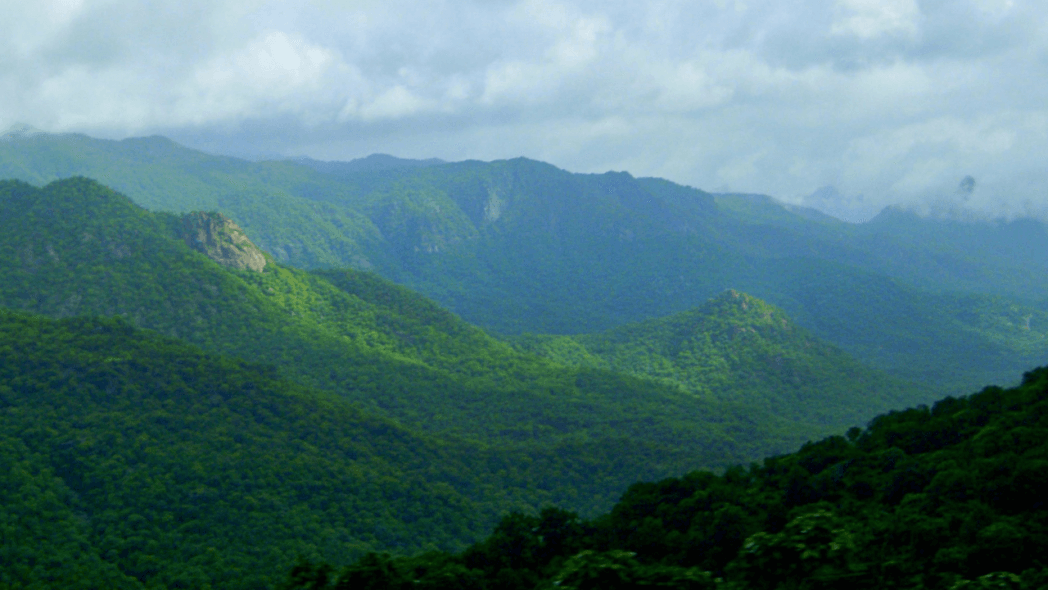
7. Western Ghat Mountain Range in India
The 1600 km long mountain range runs parallel to the west Coast of the Indian Peninsula. The range stretches through Gujarat, Maharashtra, Goa, Karnataka, Kerala, and Tamil Nadu. The range is called Sahyadri in northern Maharashtra and Sahya Parvatham in Kerala, inhabiting more than 20% of India’s flora and fauna.

The range is a UNESCO world heritage site and among the 8 biodiversity hotspots in the world as the maximum species here are endemic. The range is full of distinguished peaks and the highest among them being Anamudi, which is located in the Anaimalai Hills on the border of Tamil Nadu and Kerala. The most popular hill stations of the range are Ooty, Matheran, Lonavala, Mahabaleshwar, Panchgani, etc.
| Total Area Occupied | 140,000 square km |
| Major Treks of the region | Kudremukh, Kalsubai, Chembra, Dudhsagar, Ratangarh, Tadaindamol etc |
Read more: Hill Stations Near Bangalore
The Western Ghats are divided into three pieces, they are:
1. Northern Western Ghats
Found in the Tapi Valley, the range is covered in basaltic lava. The average elevation of the range is nearly 1200 m but some important peaks surpassing it are Kalasubai, Sahler, Mahabaleshwar, and Harishchandragad.
2. Central Western ghats or Middle Sahyadri
The range is composed of granite and gneiss and stretches till the Nilgiri Hills. The region is famous for its spots and waterfalls like Jog falls and Sharavathi River. The prominent peaks of the region are Dodo Betta and Makurti.
3. Southern Western Ghats
Popularly known as the southern mountain complex, the Western Ghat mountain range ends abruptly in this region.
8. Eastern Ghat Mountain Range in India
The 1131 km long mountain range runs parallel to the eastern Coast of the Indian Peninsula, from the Mahanadi River in Odisha to the Vaigai River in Tamil Nadu. Running through the states of Odisha, Andhra Pradesh, and Tamil Nadu, the mountain range merges with the Western Ghat Mountain Range in the Nilgiri Hills.

The range is also known as Simulai in Orissa, The Mahendra Parvatam in the south, and Nallamala Range in Andhra Pradesh. The highest peak of the range is Jindhagada Peak situated in Araku Valley. Javadi hills are the largest hill range of the eastern ghats region. The major attractions of the range are Gandikota Canyon, Borra Caves, Simlipal National Park, and Satkosia Tiger Reserve.
| Total Area Occupied | 75,000 square km |
| Major Treks of the region | Arma Konda, Hukumpeta Mandalam, Nagalapuram, Jindhagada peak, Yercaud Lake Forest etc |
Conclusion Mountain Ranges in India
Read more: Highest Peaks In India
These mountain ranges are the true jewels and pride of India but recent developments have been pushing them toward destruction. It is through the presence of these regions that India is today a biodiversity hotspot and a country of diversity. The life here tells the story of ancient times, tribal lives, and the things and organisms which we lost somewhere in the course of evolution. These mountain ranges need to be protected and preserved if we want to survive on this planet.
Frequently Asked Questions (FAQ’s) for Mountain Ranges in India
How many mountain ranges are there in India?
There are seven mountain ranges in India.
Which is the highest peak in India?
Kanchenjunga (8586 m) is the highest peak in India.
The Himalayas cover how many countries?
The Himalayas cover India, Nepal, Pakistan, Afghanistan, China, and Bhutan.
How old are the Himalayas?
The Himalayas are the youngest mountains in the world, they are around 40-50 million years old.
Mt. Everest is located in which country?
Mt. Everest is located between Nepal and Tibet, an autonomous region of China.
Do I need special permission to visit Kailash Mansarovar?
No, special permission is needed for Kailash Mansarovar. All you need is a valid Indian Passport and be in the best of your health to go for the Yatra.
Where is Rohtang La located?
Rohtang La is located in Himachal Pradesh, 51 km from Manali
Can someone visit Ladakh alone?
Yes, Ladakh is the perfect destination for your next solo trip.
How many days are needed to explore Ladakh?
8-10 days are enough for exploring and experiencing life in Ladakh
What is the best time to visit Ooty?
Ooty is a year-round destination, famous for tea and coffee plantations.
What are the specialties of Mahabaleshwar?
Mahabaleshwar is famous for strawberries, homemade jams, and organic honey.
Where are the rock shelters located in Madhya Pradesh?
Bhimbetka rock shelter is located in the Raisen district of Madhya Pradesh.
10 Best Hill Station In Himachal Pradesh, Highlights, FAQ’s
10 Best Hill Stations In Maharashtra, Highlights & FAQ’s
10 Best Hill Stations In West Bengal – Best Time, How to Reach Highlights & FAQs
10 Best Maharashtra Trekking Places, Highlights, Treks & FAQ’s
10 Best Trekking Places Near Delhi In 2024 & FAQ’s

10 Best Treks in Himachal That You Can Do in Winters
